 Old Cumbria Gazetteer
 |
 |
|
| quarry, Kentmere | ||
| Hart Crag Quarry | ||
| civil parish:- | Kentmere (formerly Westmorland) | |
| county:- | Cumbria | |
| locality type:- | quarry | |
| coordinates:- | NY45720803 | |
| 1Km square:- | NY4508 | |
| 10Km square:- | NY40 | |
|
|
||
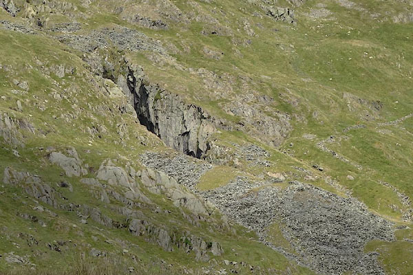 CBE16.jpg (taken 15.7.2014) |
||
|
|
||
| evidence:- | old map:- OS County Series |
|
| source data:- | Maps, County Series maps of Great Britain, scales 6 and 25
inches to 1 mile, published by the Ordnance Survey, Southampton,
Hampshire, from about 1863 to 1948. "Old Quarries" |
|
|
|
||
| evidence:- | possibly old map:- Postlethwaite 1877 (3rd edn 1913) |
|
| source data:- | Map, uncoloured engraving, Map of the Lake District Mining Field, Westmorland, Cumberland,
Lancashire, scale about 5 miles to 1 inch, by John Postlethwaite, published by W H
Moss and Sons, 13 Lowther Street, Whitehaven, Cumberland, 1877 edn 1913.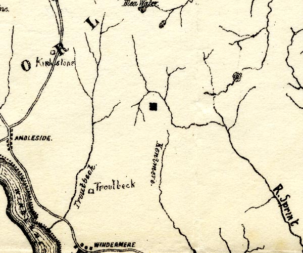 PST2NY40.jpg quarry symbol, head of Kentmere valley item:- JandMN : 162.2 Image © see bottom of page |
|
|
|
||
| evidence:- | possibly old print:- Rose 1832-35 |
|
| source data:- | Print, engraving, Kentmere Head, and Slate Quarries, Westmorland, by Thomas Allom,
engraved by S Bradshaw, 1834.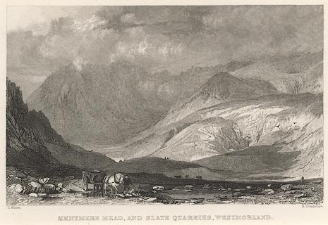 click to enlarge click to enlargeR263.jpg item:- JandMN : 39 Image © see bottom of page |
|
|
|
||
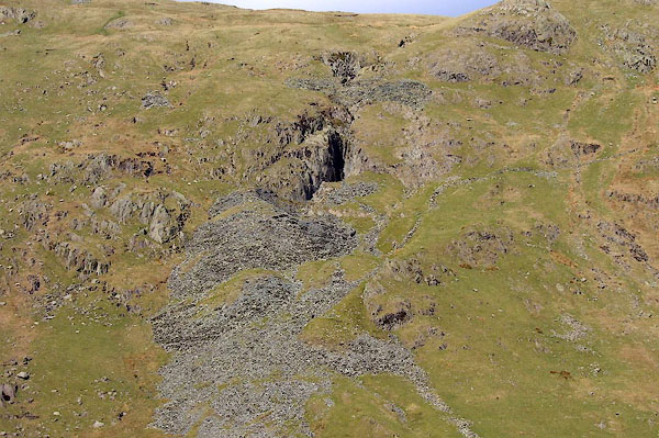 BNP08.jpg (taken 18.4.2007) 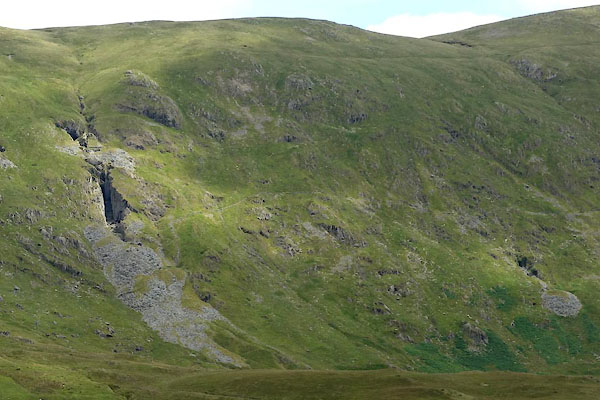 CBE15.jpg (taken 15.7.2014) |
||
|
|
||
 Lakes Guides menu.