 Old Cumbria Gazetteer
 |
 |
|
| Pull Wyke House, Skelwith | ||
| Pull Wyke House | ||
| civil parish:- | Skelwith (formerly Lancashire) | |
| county:- | Cumbria | |
| locality type:- | buildings | |
| coordinates:- | NY36140227 | |
| 1Km square:- | NY3602 | |
| 10Km square:- | NY30 | |
|
|
||
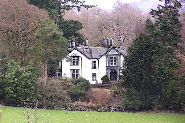 BLV74.jpg (taken 13.4.2006) |
||
|
|
||
| evidence:- | old map:- OS County Series (Lan 2 6) placename:- Pull Wyke House |
|
| source data:- | Maps, County Series maps of Great Britain, scales 6 and 25
inches to 1 mile, published by the Ordnance Survey, Southampton,
Hampshire, from about 1863 to 1948. |
|
|
|
||
| evidence:- | probably old map:- Jefferys 1770 (Wmd) placename:- Pool House |
|
| source data:- | Map, 4 sheets, The County of Westmoreland, scale 1 inch to 1
mile, surveyed 1768, and engraved and published by Thomas
Jefferys, London, 1770.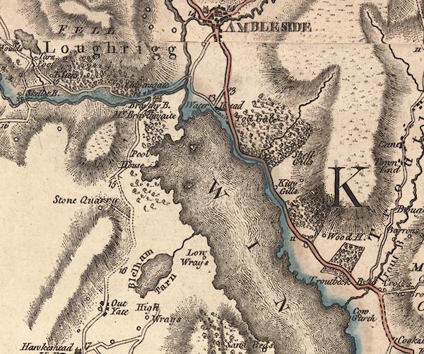 J5NY30SE.jpg "Pool House" circle, labelled in italic lowercase text; settlement, farm, house, or hamlet? item:- National Library of Scotland : EME.s.47 Image © National Library of Scotland |
|
|
|
||
| evidence:- | old map:- Clarke 1787 map (Windermere N) placename:- Pull |
|
| source data:- | Map, A Map of the Northern Part of the Lake Winandermere and its
Environs, scale about 6.5 ins to 1 mile, by James Clarke,
engraved by Samuel John Neele, 352 Strand, published by James
Clarke, Penrith, Cumberland and in London etc, 1787.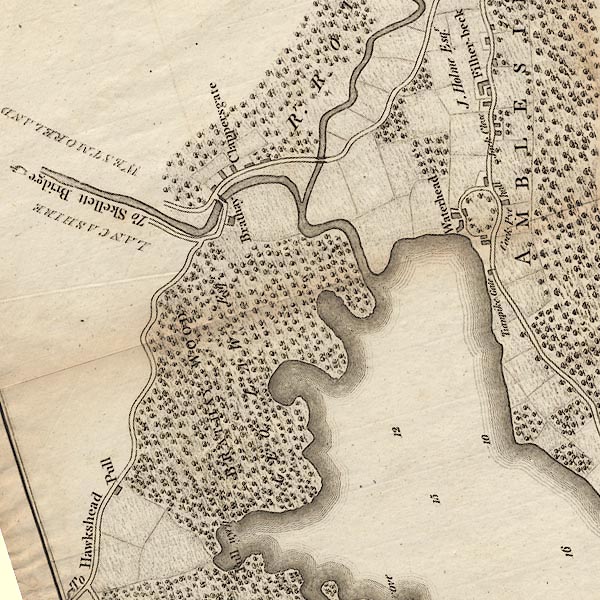 CLANY30R.jpg "Pull" item:- private collection : 10.10 Image © see bottom of page |
|
|
|
||
| evidence:- | probably old map:- Cary 1789 (edn 1805) placename:- Pool House |
|
| source data:- | Map, uncoloured engraving, Westmoreland, scale about 2.5 miles
to 1 inch, by John Cary, London, 1789; edition 1805.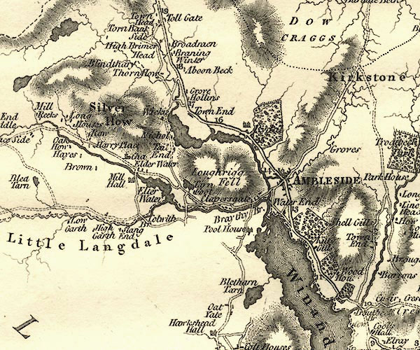 CY24NY30.jpg "Pool House" house symbol; large house item:- JandMN : 129 Image © see bottom of page |
|
|
|
||
 Lakes Guides menu.