 |
 |
|
|
|
|
Prospect |
| locality:- |
Oughterside |
| civil parish:- |
Oughterside and Allerby (formerly Cumberland) |
| county:- |
Cumbria |
| locality type:- |
locality |
| locality type:- |
buildings |
| coordinates:- |
NY11634078 (etc) |
| 1Km square:- |
NY1140 |
| 10Km square:- |
NY14 |
|
|
| evidence:- |
old map:- OS County Series (Cmd 35 12)
placename:- Prospect
|
| source data:- |
Maps, County Series maps of Great Britain, scales 6 and 25
inches to 1 mile, published by the Ordnance Survey, Southampton,
Hampshire, from about 1863 to 1948.
|
|
|
| places:- |
 |
NY11504068 chapel, Prospect (Oughterside and Allerby) |
|
|
|
NY11454081 Gallowbarrow Hill (Oughterside and Allerby) |
|
|
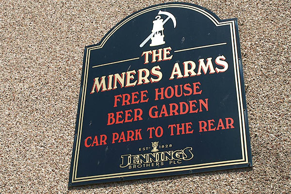 |
NY11604078 Miners Arms, The (Oughterside and Allerby) |
|
|
|
NY11824088 toll gate, Prospect (Oughterside and Allerby) |
|
|
|
NY11594085 West Moor (Oughterside and Allerby) |
|
