 Old Cumbria Gazetteer
 |
 |
|
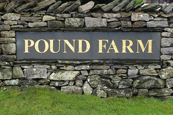
| Pound Farm, Crook | ||
| Pound Farm | ||
| civil parish:- | Crook (formerly Westmorland) | |
| county:- | Cumbria | |
| locality type:- | buildings | |
| locality type:- | pinfold (site, perhaps) | |
| coordinates:- | SD47119526 | |
| 1Km square:- | SD4795 | |
| 10Km square:- | SD49 | |
|
|
||
 BVT47.jpg (taken 21.12.2011) |
||
|
|
||
| evidence:- | old map:- OS County Series (Wmd 33 14) placename:- Pound |
|
| source data:- | Maps, County Series maps of Great Britain, scales 6 and 25
inches to 1 mile, published by the Ordnance Survey, Southampton,
Hampshire, from about 1863 to 1948. "Pound" |
|
|
|
||
| hearsay:- |
A plot of land in a field is said to have been used to hold animals overnight, being
taken along the drove road here. (This is not the function of a pinfold.) |
|
|
|
||
 Lakes Guides menu.