 Old Cumbria Gazetteer
 |
 |
|
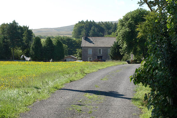
| Piper Hole, Ravenstonedale | ||
| Piper Hole | ||
| civil parish:- | Ravenstonedale (formerly Westmorland) | |
| county:- | Cumbria | |
| locality type:- | buildings | |
| coordinates:- | NY72640326 | |
| 1Km square:- | NY7203 | |
| 10Km square:- | NY70 | |
|
|
||
 BTI52.jpg (taken 16.8.2010) |
||
|
|
||
| evidence:- | old map:- OS County Series (Wmd 30 9) placename:- Piper Hole |
|
| source data:- | Maps, County Series maps of Great Britain, scales 6 and 25
inches to 1 mile, published by the Ordnance Survey, Southampton,
Hampshire, from about 1863 to 1948. |
|
|
|
||
 Lakes Guides menu.