 Old Cumbria Gazetteer
 |
 |
|
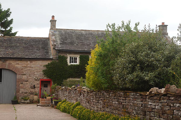
| Peaslands, King's Meaburn | ||
| Peaslands | ||
| civil parish:- | King's Meaburn (formerly Westmorland) | |
| county:- | Cumbria | |
| locality type:- | buildings | |
| coordinates:- | NY63071980 | |
| 1Km square:- | NY6319 | |
| 10Km square:- | NY61 | |
|
|
||
 CDJ57.jpg (taken 20.6.2015) |
||
|
|
||
| evidence:- | old map:- OS County Series (Wmd 15 1) placename:- Peaslands |
|
| source data:- | Maps, County Series maps of Great Britain, scales 6 and 25
inches to 1 mile, published by the Ordnance Survey, Southampton,
Hampshire, from about 1863 to 1948. |
|
|
|
||
| evidence:- | database:- Listed Buildings 2010 placename:- Peaslands Farm |
|
| source data:- | courtesy of English Heritage "PEASLANDS FARMHOUSE / / / KINGS MEABURN / EDEN / CUMBRIA / II / 422788 / NY6307719806" |
|
|
|
||
 Lakes Guides menu.