 Old Cumbria Gazetteer
 |
 |
|
| Parton Station, Parton | ||
| Parton Station | ||
| site name:- | Whitehaven Junction Railway | |
| locality:- | Parton | |
| civil parish:- | Parton (formerly Cumberland) | |
| county:- | Cumbria | |
| locality type:- | railway station | |
| coordinates:- | NX97902062 | |
| 1Km square:- | NX9720 | |
| 10Km square:- | NX92 | |
| SummaryText:- | Opened 1847. | |
|
|
||
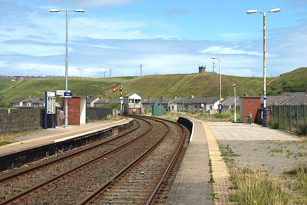 BPM31.jpg (taken 15.7.2008) 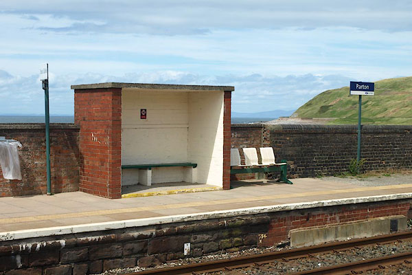 BPM32.jpg (taken 15.7.2008) |
||
|
|
||
| evidence:- | old map:- OS County Series (Cmd 61 14) item:- railway signal |
|
| source data:- | Maps, County Series maps of Great Britain, scales 6 and 25
inches to 1 mile, published by the Ordnance Survey, Southampton,
Hampshire, from about 1863 to 1948.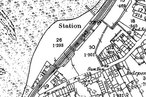 click to enlarge click to enlargeCSRY0065.jpg "Station / S.P." at Parton |
|
|
|
||
| evidence:- | old map:- Garnett 1850s-60s H placename:- Parton Station |
|
| source data:- | Map of the English Lakes, in Cumberland, Westmorland and
Lancashire, scale about 3.5 miles to 1 inch, published by John
Garnett, Windermere, Westmorland, 1850s-60s.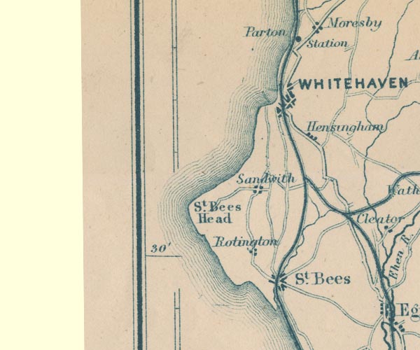 GAR2NX91.jpg "Parton Station" dot by railway item:- JandMN : 82.1 Image © see bottom of page |
|
|
|
||
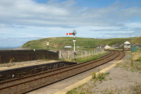 BPM33.jpg View N. (taken 15.7.2008) 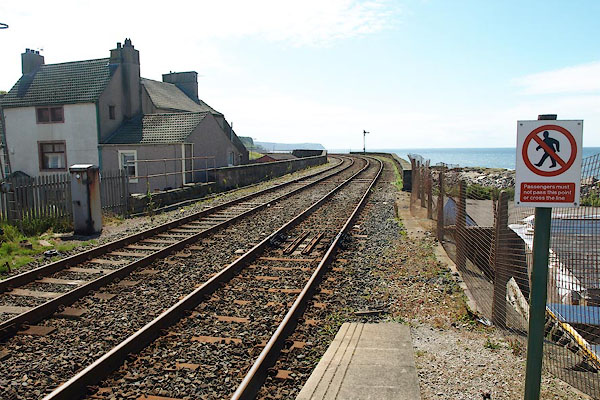 BPM34.jpg View S. (taken 15.7.2008) 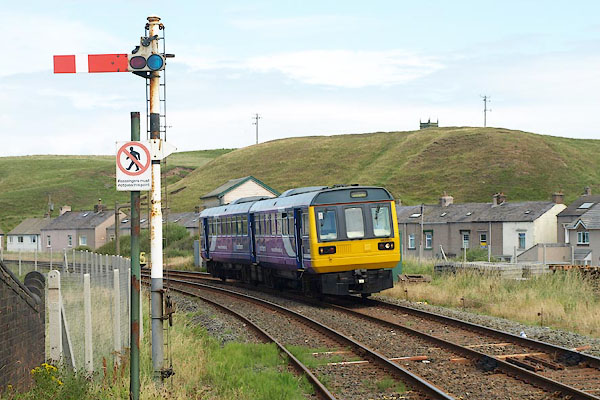 BPM35.jpg Train from the north. (taken 15.7.2008) 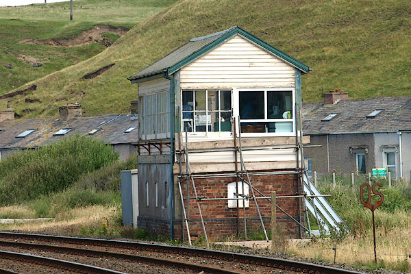 BPM38.jpg Signal box, north end. (taken 15.7.2008) 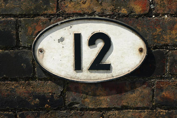 BPM36.jpg 12 mile sign, on the platform wall. (taken 15.7.2008) 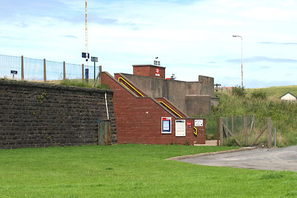 BPM30.jpg (taken 15.7.2008) 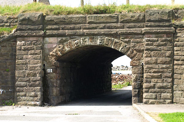 BPM37.jpg Bridge under the platform. (taken 15.7.2008) |
||
|
|
||
 Lakes Guides menu.