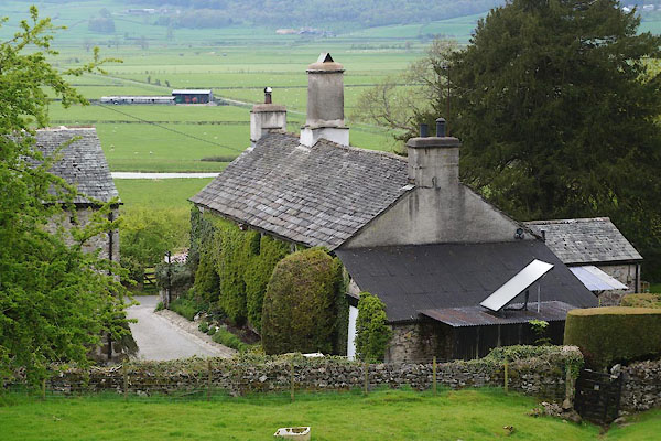


CDA71.jpg (taken 15.5.2015)

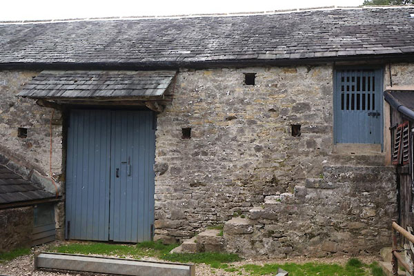
CDA72.jpg Barn.
(taken 15.5.2015)
placename:- Park End
placename:- Park End Farm
courtesy of English Heritage
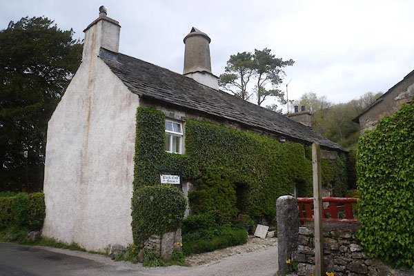
"PARK END FARMHOUSE / / PARK END LANE / HELSINGTON / SOUTH LAKELAND / CUMBRIA / II / 75274 / SD4849288861"
courtesy of English Heritage
"BARN TO SOUTH EAST OF PARK END FARMHOUSE / / PARK END LANE / HELSINGTON / SOUTH LAKELAND / CUMBRIA / II / 75275 / SD4851188849"
courtesy of English Heritage
"STABLES, WALL AND GATEPIERS TO SOUTH OF PARK END FARMHOUSE / / PARK END LANE / HELSINGTON / SOUTH LAKELAND / CUMBRIA / II / 75276 / SD4849588847"

CDA69.jpg (taken 15.5.2015)

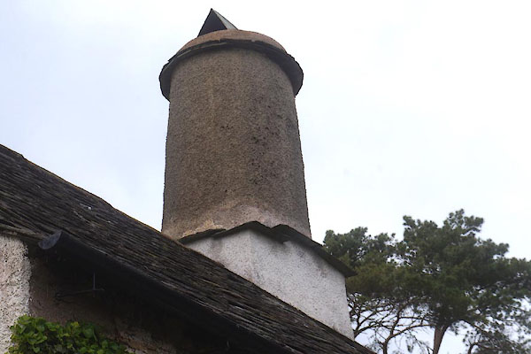
CDA70.jpg Chimney.
(taken 15.5.2015)

 Lakes Guides menu.