 Old Cumbria Gazetteer
 |
 |
|
| Old High, Whinfell | ||
| Old High | ||
| civil parish:- | Whinfell (formerly Westmorland) | |
| county:- | Cumbria | |
| locality type:- | hill | |
| coordinates:- | NY56780157 | |
| 1Km square:- | NY5601 | |
| 10Km square:- | NY50 | |
| altitude:- | 1516 feet | |
| altitude:- | 462m | |
|
|
||
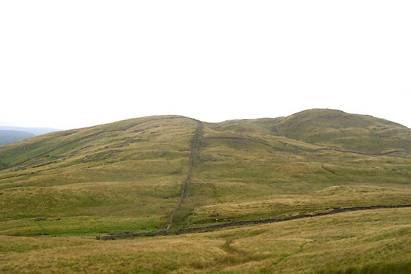 BPN63.jpg and castle fell on the right. (taken 23.7.2008) |
||
|
|
||
| evidence:- | old map:- OS County Series (Wmd 28 14) placename:- Old High placename:- High, Old |
|
| source data:- | Maps, County Series maps of Great Britain, scales 6 and 25
inches to 1 mile, published by the Ordnance Survey, Southampton,
Hampshire, from about 1863 to 1948. |
|
|
|
||
 Lakes Guides menu.