Old Coach Road, Threlkeld | ||
Old Coach Road | ||
Dockray to Wanthwaite | ||
Wanthwaite to Dockray | ||
civil parish:- | Matterdale (formerly Cumberland) | |
civil parish:- | Threlkeld (formerly Cumberland) | |
civil parish:- | St John's Castlerigg and Wythburn (formerly Cumberland) | |
county:- | Cumbria | |
locality type:- | road | |
coordinates:- | NY348228 (etc) | |
1Km square:- | NY3422 | |
10Km square:- | NY32 | |
locality:- | Dockray | |
locality:- | Mothersike Brow | |
locality:- | Hausewell Brow | |
locality:- | Threlkeld Common | |
|
||
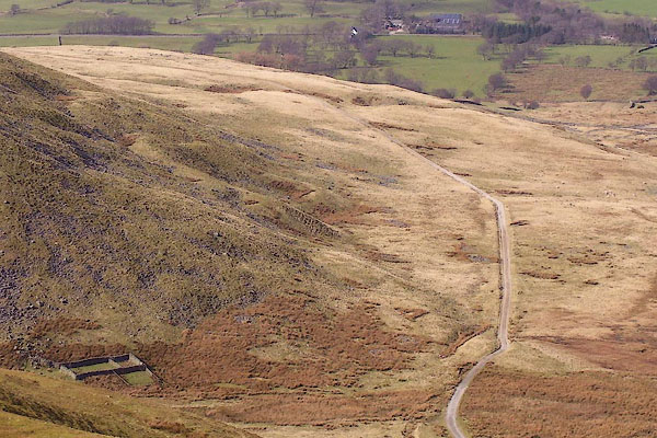
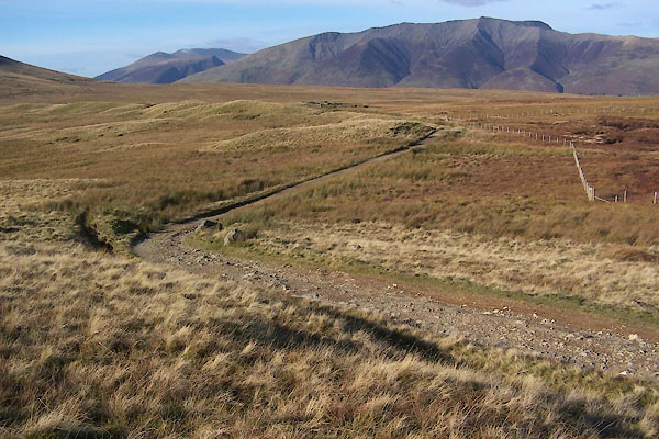
BOV16.jpg Looking at. Clough Fold on the left. (taken 17.3.2008) BXP10.jpg (taken 27.10.2012) |
||
|
||
evidence:- | old text:- Otley 1823 (5th edn 1834) item:- bearings |
|
source data:- | Guide book, A Concise Description of the English Lakes, the
mountains in their vicinity, and the roads by which they may be
visited, with remarks on the mineralogy and geology of the
district, by Jonathan Otley, published by the author, Keswick,
Cumberland now Cumbria, by J Richardson, London, and by Arthur
Foster, Kirkby Lonsdale, Cumbria, 1823; published 1823-49,
latterly as the Descriptive Guide to the English Lakes. goto source Page 136:- "Ullswater may be visited from Keswick on horseback or on foot; leaving the Penrith road a little beyond the second mile-stone, crossing the vale of Wanthwaite, and passing over a bleak mountain side to Matterdale. Carriages are obliged to continue on the turnpike road to Beckses, eleven miles; but a new road is in progress of making on the" Page 137:- "western side of Mell Fell, ..." |
|
|
||
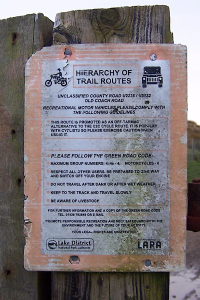
BXP30.jpg Recommendations for users. (taken 27.10.2012) |
||
The route is advertised as a traffic free bicycle route; but traffic is allowed. |
||
|