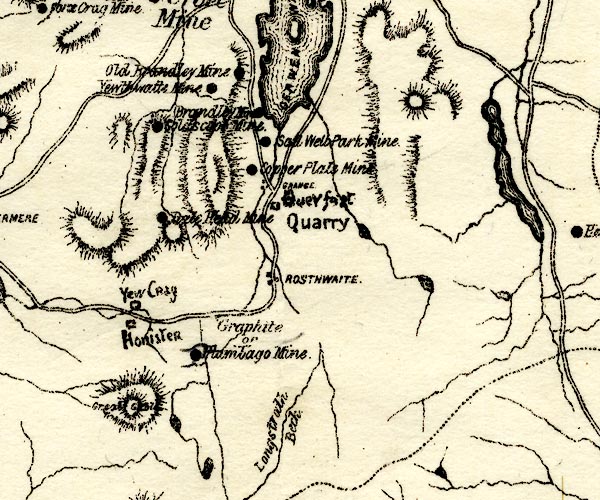


placename:- Old Brandley Mine
 goto source
page 106:- "OLD BRANDLEY (OR BRANDLEHOW) MINE."
"Is about half-a-mile north of Brandley Mine, and upon the same vein. It has been extensively wrought at the ridge of the mountain (Catbells), and for some distance below; and has no doubt produced a large quantity of ore; but at the lower part of the mountain the vein is contracted and poor."
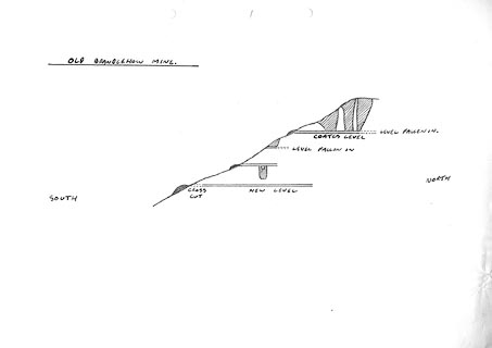
"There is some doubt as to the validity of its claim to the appellation "Old," because it does not wear an appearance of greater antiquity than Brandley Mine. The ground which has been cut away at the ridge of the mountain has evidently been done before the use of gunpowder was known, and probably before Brandley was opened, but the remainder is of comparatively recent date. Under Keswick Mining Co., a lower level was driven for a distance of about 100 fathoms, for the purpose of cutting the deposits of ore which had been wrought above; but it has not been extended far enough, as will be seen from the section. The vein, however, is divided, and there is"
 goto source
page 108:- "some doubt as to whether or not the level has been driven upon the branch from which the ore was obtained above."
"On the western side of Catbells (Skelgill Bank) there are traces of a number of old open-works on the course of the vein, but they cannot have penetrated far into the mountain as very little debris has been brought out."
placename:- Old Brandley Mine

PST2NY21.jpg
"Old Brandley Mine"
mine symbol
item:- JandMN : 162.2
Image © see bottom of page
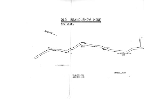
placename:- Old Brandlehow Mine
item:- Coates Level
item:- quartz
 click to enlarge
KMR34.jpg
"OLD BRANDLEHOW MINE / No2 LEVEL"
 click to enlarge
KMR35.jpg
"OLD BRANDLEHOW MINE"
item:- private collection : 82
Image © see bottom of page
