 Old Cumbria Gazetteer
 |
 |
|
| Nethermost Pike, St John's Castlerigg etc | ||
| Nethermost Pike | ||
| civil parish:- | St John's Castlerigg and Wythburn (formerly Cumberland) | |
| civil parish:- | Patterdale (formerly Westmorland) | |
| county:- | Cumbria | |
| locality type:- | hill | |
| coordinates:- | NY34381419 | |
| 1Km square:- | NY3414 | |
| 10Km square:- | NY31 | |
| altitude:- | 2923 feet | |
| altitude:- | 891m | |
|
|
||
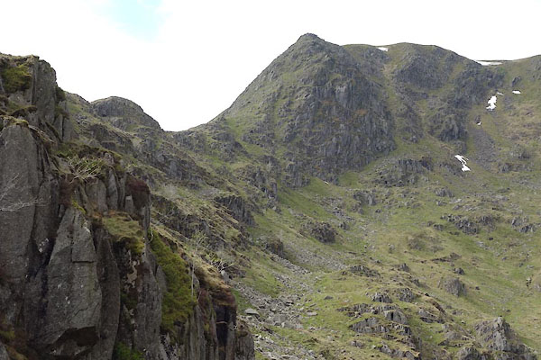 CAO51.jpg (taken 29.4.2014) 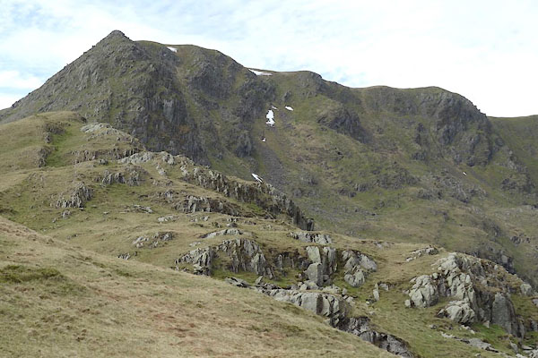 CAO52.jpg (taken 29.4.2014) |
||
|
|
||
| evidence:- | old map:- OS County Series (Cmd 71 9) placename:- Nethermost Pike |
|
| source data:- | Maps, County Series maps of Great Britain, scales 6 and 25
inches to 1 mile, published by the Ordnance Survey, Southampton,
Hampshire, from about 1863 to 1948. |
|
|
|
||
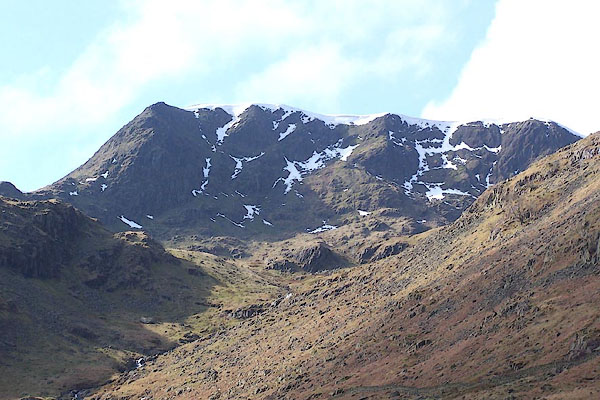 BQG89.jpg (taken 17.3.2009) 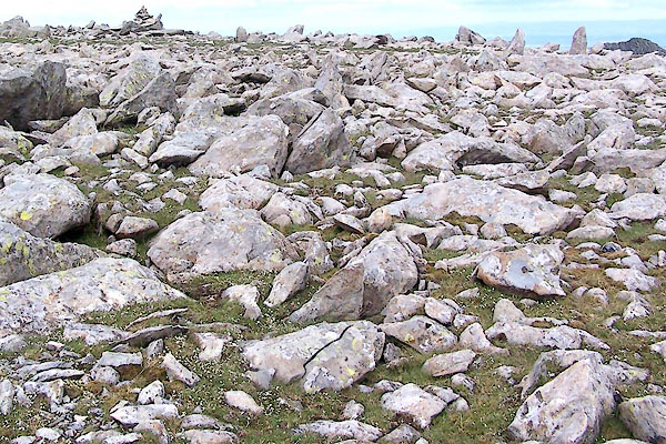 BRB54.jpg On the top. (taken 9.7.2009) |
||
|
|
||
 Lakes Guides menu.