


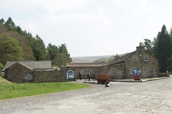
BUJ69.jpg (taken 23.4.2011)
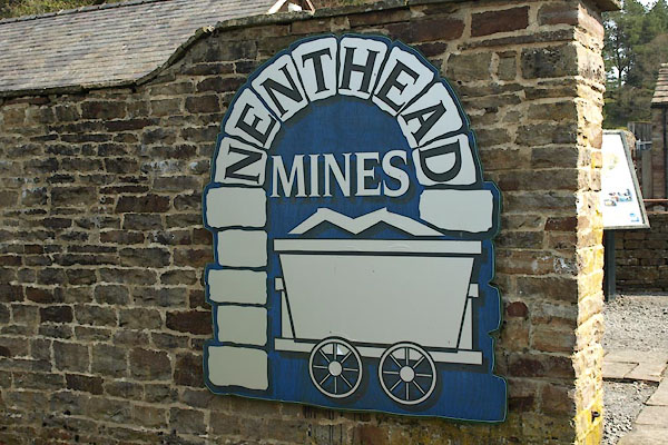
BUJ70.jpg Sign
(taken 23.4.2011)
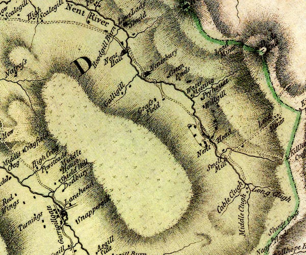
D4NY74SE.jpg
"Smelt Mill"
circle with rays, mill wheel; a water mill
item:- Carlisle Library : Map 2
Image © Carlisle Library
placename:- Nenthead Mines
item:- galena; purple flourspar; flourspar; green flourspar; chalybite; siderite; blende
Geological Outing of the Kendal and District Mine Research Society
Log book page 28 (part):- "DATE - SUNDAY 26/8/79 / MAP REF - (1. 7850/4370) ... / LOCATION - (NENTHEAD 1.) ... / NAME - (NENTHEAD MINES 1.) ... / TYPE OF SITE - MINES / WORKING OR DISUSED - DISUSED / PEOPLE IN PARTY [ ] / NOS. OF PHOTOS - Nos.19 / SPECIMENS FOUND - PEICES (sic) OF GALENA, PURPLE FLOURSPAR, GREEN FLOURSPAR, CHALYBITE (SIDERITE) AND BLENDE. / COMMENTS - FAIRLY DRY DAY, SMALL OUTBURSTS OF RAIN. FIRESTONE LEVEL AT NENTHEAD, INS ENTERABLE, BUT IS IN DEEP WATER (4'-5' APPROX) AFTER 100 FT. ..."
item:- private collection : 82
Image © see bottom of page
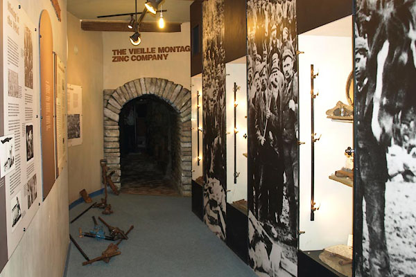
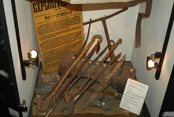
BUJ76.jpg Heritage centre display.
(taken 23.4.2011)
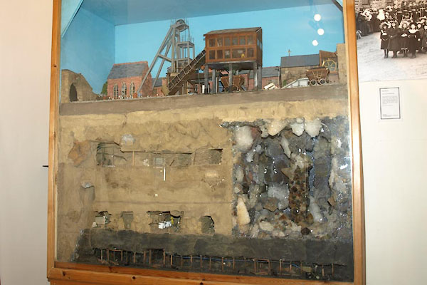
BUJ75.jpg Heritage centre display.
(taken 23.4.2011)
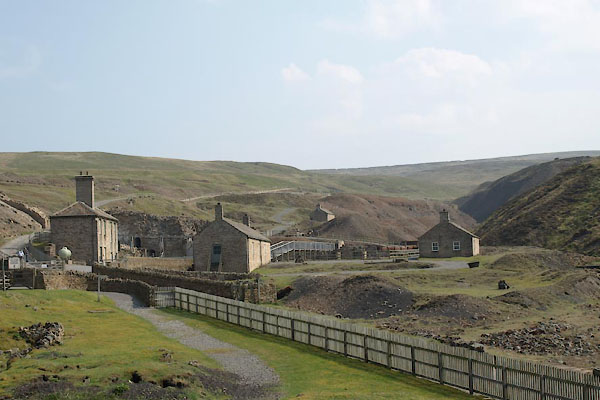
BUJ77.jpg Heritage centre display.
(taken 23.4.2011)
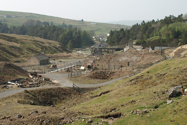
BUJ78.jpg (taken 23.4.2011)
BUJ79.jpg (taken 23.4.2011)
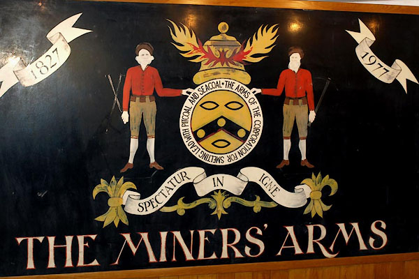
BUJ80.jpg Miners' coat of arms
(taken 23.4.2011)
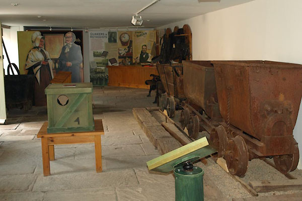
BUJ82.jpg Display.
(taken 23.4.2011)
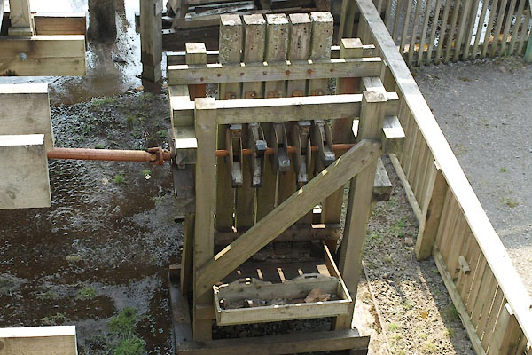
BUJ83.jpg Reconstructed stamp mill.
(taken 23.4.2011)
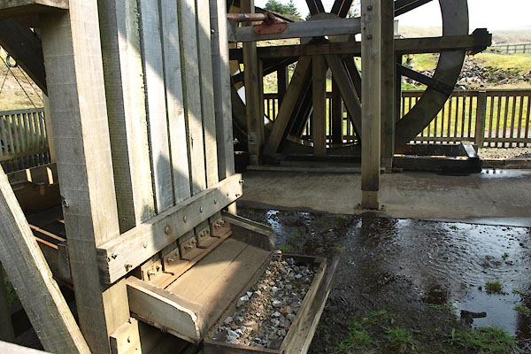
BUJ84.jpg Reconstructed stamp mill.
(taken 23.4.2011)
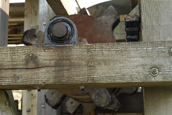
BUJ85.jpg Reconstructed stamp mill.
(taken 23.4.2011)
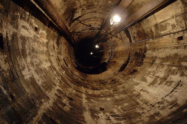
BUJ86.jpg Brewery Shaft.
(taken 23.4.2011)
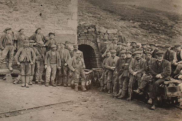
BUJ74.jpg
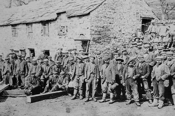
CCL94.jpg

 Lakes Guides menu.