 Old Cumbria Gazetteer
 |
 |
|
| Narrow Moor, Above Derwent | ||
| Narrow Moor | ||
| locality:- | Derwent Fells | |
| civil parish:- | Above Derwent (formerly Cumberland) | |
| county:- | Cumbria | |
| locality type:- | moor | |
| coordinates:- | NY23771771 (etc) | |
| 1Km square:- | NY2317 | |
| 10Km square:- | NY21 | |
|
|
||
| evidence:- | old map:- OS County Series (Cmd 70 1) placename:- Narrow Moor |
|
| source data:- | Maps, County Series maps of Great Britain, scales 6 and 25
inches to 1 mile, published by the Ordnance Survey, Southampton,
Hampshire, from about 1863 to 1948. |
|
|
|
||
| MN photo:- |
Low Scawdell on the left is Borrowdale Volcanic Group; Maiden Moor on the right is
Skiddaw Group. |
|
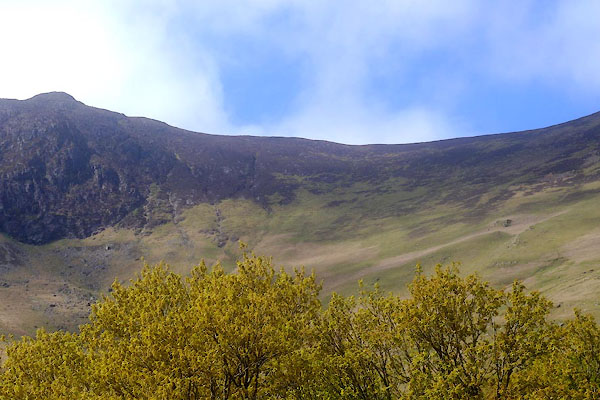 CGA73.jpg (taken 7.5.2017) |
||
| Looking towards Narrow Moor from Peace How, the two stone walls look slightly different.
On the left they have more boulder and fewer slabs; on the right they have more slabs
and fewer boulders. The differnce is slight. |
||
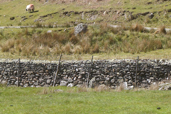 CGA75.jpg Stone wall, left. (taken 7.5.2017) 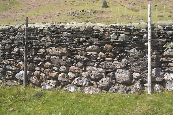 CGA74.jpg Stone wall, left. (taken 7.5.2017) 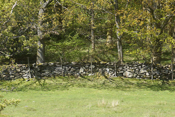 CGA77.jpg Stone wall, right. (taken 7.5.2017) 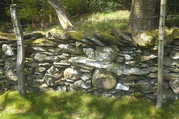 CGA76.jpg Stone wall, right. (taken 7.5.2017) |
||
|
|
||
 Lakes Guides menu.