 Old Cumbria Gazetteer
 |
 |
|
| Nab, Mallerstang | ||
| locality:- | Wild Boar Fell | |
| locality:- | Mallerstang | |
| civil parish:- | Mallerstang (formerly Westmorland) | |
| civil parish:- | Ravenstonedale (formerly Westmorland) | |
| county:- | Cumbria | |
| locality type:- | hill | |
| coordinates:- | SD761992 | |
| 1Km square:- | SD7699 | |
| 10Km square:- | SD79 | |
|
|
||
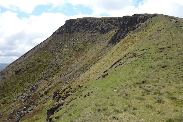 CDD05.jpg and Scriddles. (taken 26.5.2015) 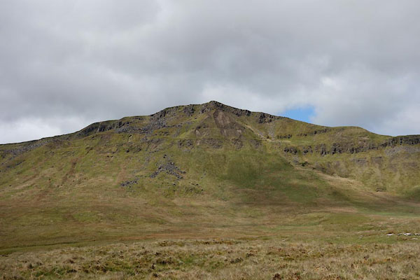 CDC95.jpg (taken 26.5.2015) |
||
|
|
||
| evidence:- | old map:- OS County Series (Wmd 36 6) placename:- Nab, The |
|
| source data:- | Maps, County Series maps of Great Britain, scales 6 and 25
inches to 1 mile, published by the Ordnance Survey, Southampton,
Hampshire, from about 1863 to 1948. |
|
|
|
||
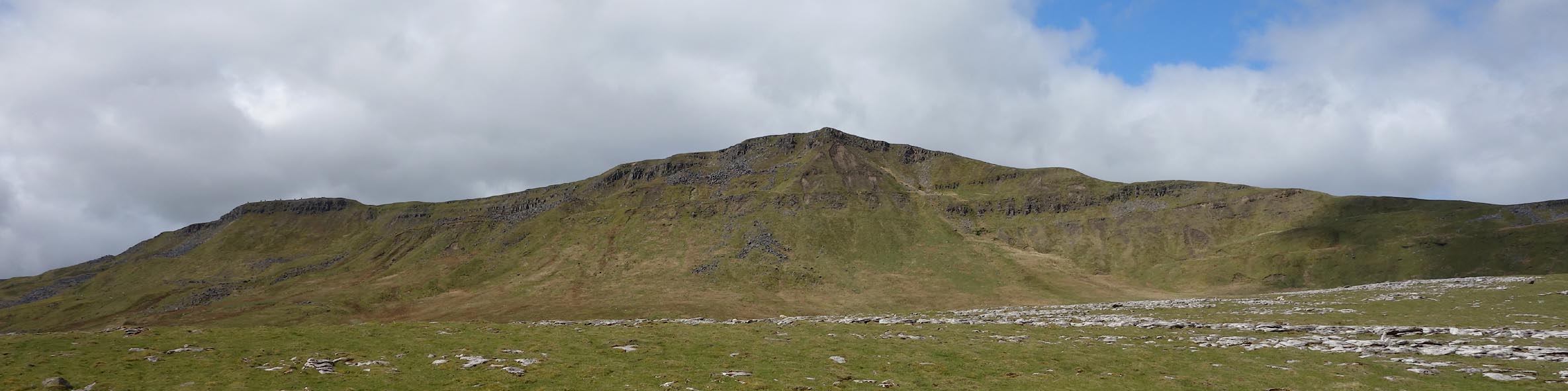 Click to enlarge CDC96.jpg (taken 26.5.2015) 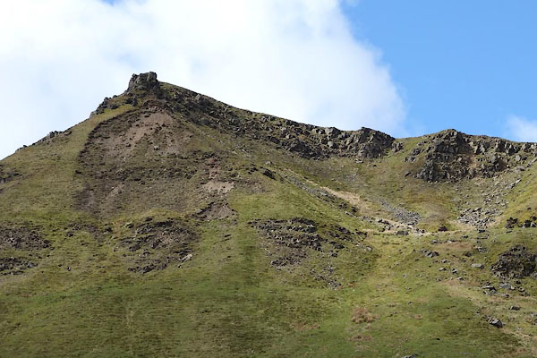 CDC97.jpg (taken 26.5.2015) 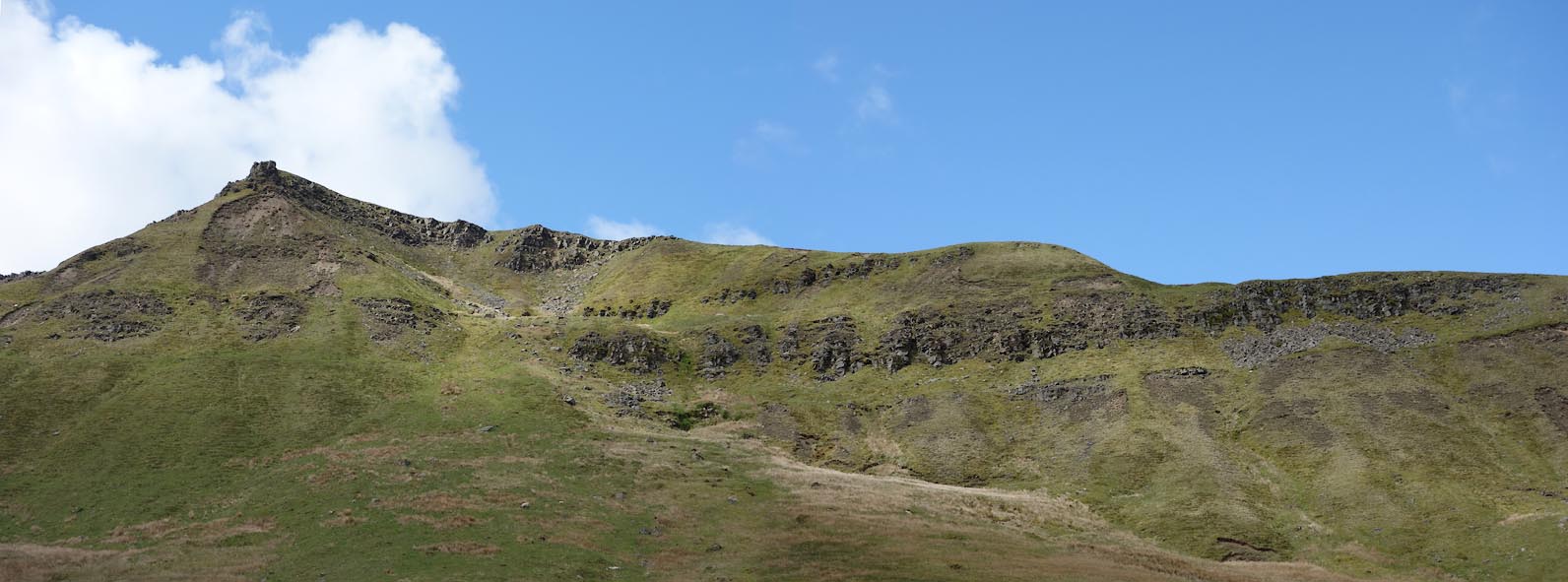 Click to enlarge CDC98.jpg (taken 26.5.2015) 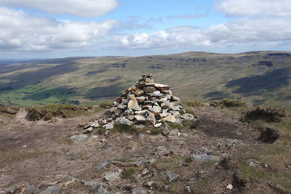 CDD06.jpg Cairn, (taken 26.5.2015) |
||
|
|
||
 Lakes Guides menu.