 |
 |
   |
|
|
|
Murthwaite Knott |
| civil parish:- |
Whitwell and Selside (formerly Westmorland) |
| county:- |
Cumbria |
| locality type:- |
hill |
| locality type:- |
summit |
| coordinates:- |
NY51750074 |
| 1Km square:- |
NY5100 |
| 10Km square:- |
NY50 |
| altitude:- |
981 feet |
| altitude:- |
299m |
|
|
|

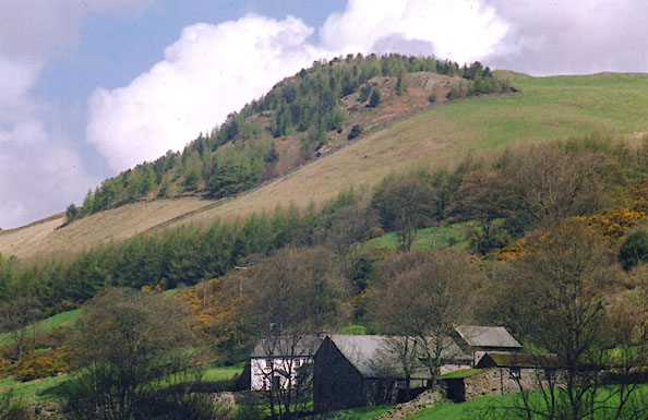
BIQ01.jpg (taken 22.4.2004)
|
|
|
| evidence:- |
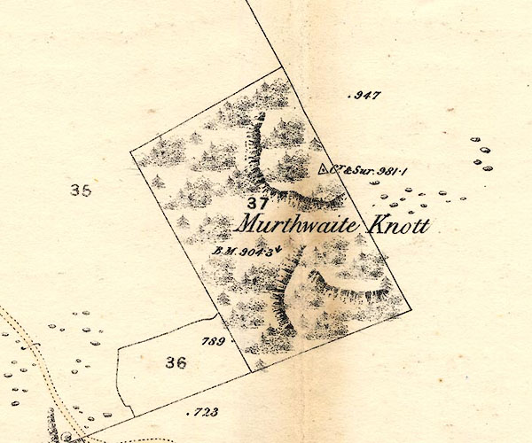
old map:- OS County Series (Wmd 33 4)
placename:- Murthwaite Knott
|
| source data:- |
County Series map, Westmorland sheet 33 4, part of Longsleddale, Westmorland, scale
25 inches to 1 mile, published by the Ordnance Survey, Southampton, Hampshire, about
1890s?

BNJ87.jpg
item:- private collection : 55
Image © see bottom of page
|
|
|
| evidence:- |
old map:- OS County Series (Wmd 33 4)
placename:- Murthwaite Knott
|
| source data:- |
Maps, County Series maps of Great Britain, scales 6 and 25
inches to 1 mile, published by the Ordnance Survey, Southampton,
Hampshire, from about 1863 to 1948.
County Series 25 inch map, Westmorland sheet XXXIII 4, surveyed 1858-59, revised 1896,
2nd edition published by Ordnance Survey, 1898. "Murthwaite Knott"
Marked as a Trigonometrical Station.
|
|
|
| evidence:- |
old map:- Hodgson 1828
placename:- Murthwaite Crag
|
| source data:- |
Map, 4 sheets, Plan of the County of Westmorland, scale about 1
1/3 inches to 1 mile, by Thomas Hodgson, 1823-25, engraved by W
R Gardner, Harpur Street, London, published by Thomas Hodgson,
Lancaster, and perhaps by C Smith, 172 Strand, London,1828.
|
|
|
| evidence:- |
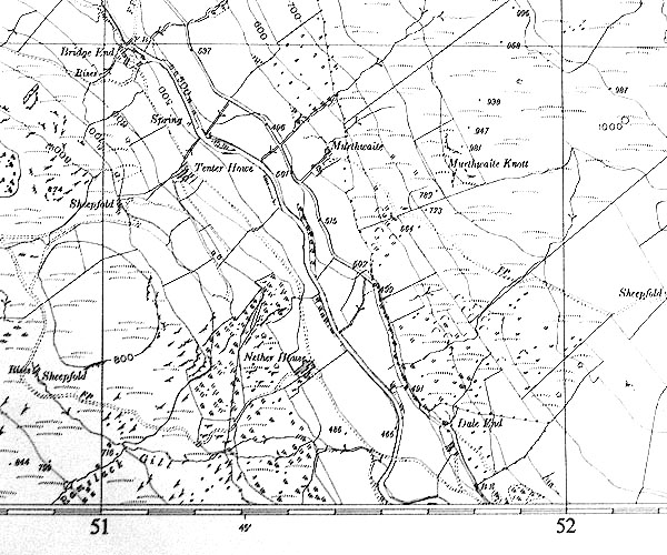
map:- OS Six Inch (1956)
placename:- Murthwaite Knott
|
| source data:- |
Map series, various editions with the national grid, scale about
6 inches to 1 mile, published by the Ordnance Survey,
Southampton, Hampshire, scale 1 to 10560 from 1950s to 1960s,
then 1 to 10000 from 1960s to 2000s, superseded by print on
demand from digital data.

SINY5100.jpg
"Murthwaite Knott"
|
|
|
observation:-
|
There is a tiny cairn, visible from the road below, on the west tip of the higher
crag. This was built by the Purdy Family, visitors to the Murthwaite static caravans
in the 1970s. They thought that as Ulgraves had a cairn, and Whiteside had a cairn,
so Murthwaite Knott should have one too. The cairn is at NY51760077.
|
|
|


 Lakes Guides menu.