 Old Cumbria Gazetteer
 |
 |
|
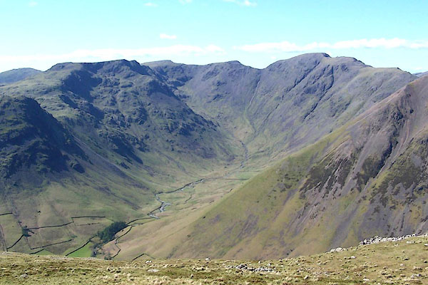
| Mosedale, Nether Wasdale | ||
| Mosedale | ||
| civil parish:- | Nether Wasdale (formerly Cumberland) | |
| county:- | Cumbria | |
| locality type:- | valley | |
| coordinates:- | NY182097 (etc) | |
| 1Km square:- | NY1809 | |
| 10Km square:- | NY10 | |
|
|
||
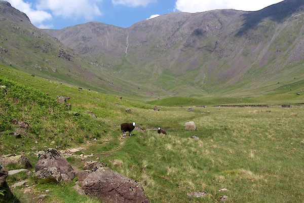 BUR10.jpg (taken 3.6.2011) 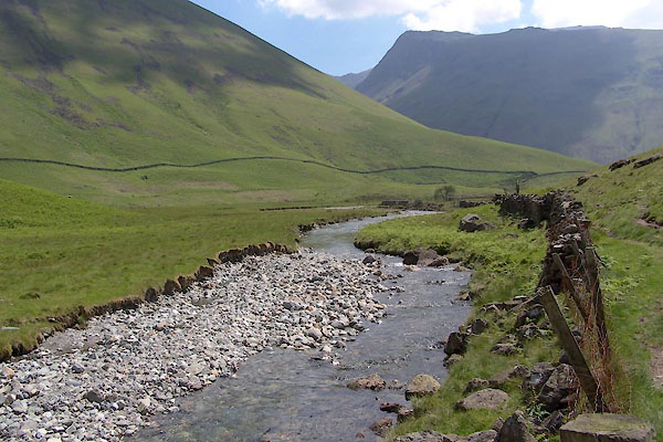 BUR11.jpg (taken 3.6.2011) |
||
|
|
||
| evidence:- | old map:- OS County Series (Cmd 74 6) placename:- Mosedale |
|
| source data:- | Maps, County Series maps of Great Britain, scales 6 and 25
inches to 1 mile, published by the Ordnance Survey, Southampton,
Hampshire, from about 1863 to 1948. OS County Series (Cmd 74 7) |
|
|
|
||
| evidence:- | old map:- Garnett 1850s-60s H placename:- Mosdale |
|
| source data:- | Map of the English Lakes, in Cumberland, Westmorland and
Lancashire, scale about 3.5 miles to 1 inch, published by John
Garnett, Windermere, Westmorland, 1850s-60s.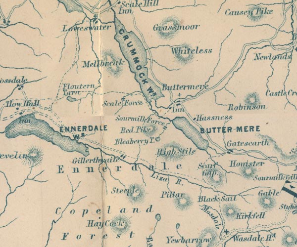 GAR2NY11.jpg "Mosdale" river valley, between hachuring item:- JandMN : 82.1 Image © see bottom of page |
|
|
|
||
| evidence:- | old print:- Barber and Atkinson 1927 placename:- Mosedale |
|
| source data:- | Print, halftone photograph, Looking into Mosedale, view of Wasdale Head, Nether Wasdale,
Cumberland, published by James Atkinson, Caxton Printing Works, Ulverston, Lancashire,
1928.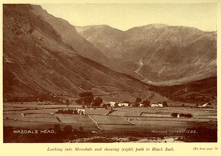 click to enlarge click to enlargeAK0408.jpg Tipped in opposite p.38 of Lakeland Passes, by John B Barber and George Atkinson, 1927, 3rd edn 1928. at inter negative:- "WASDALE HEAD. / Atkinsons Series 1266." printed at bottom:- "Looking into Mosedale and showing (right) path to Black Sail. (To face plage 38." item:- JandMN : 350.9 Image © see bottom of page |
|
|
|
||
 BQO27.jpg (taken 12.5.2009) 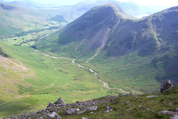 BQX39.jpg Mosedale and Yewbarrow. (taken 25.6.2009) 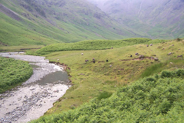 BQX42.jpg (taken 25.6.2009) 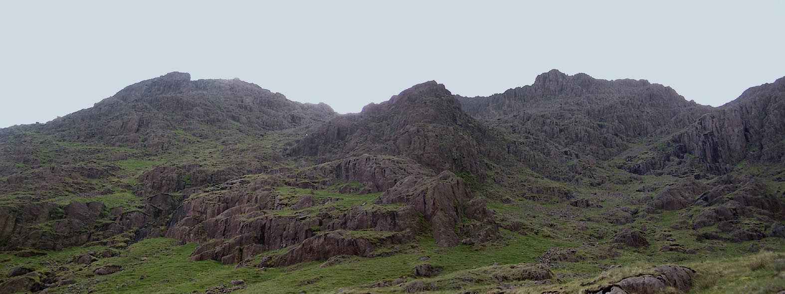 Click to enlarge BUR18.jpg At the head of the dale - Low Red Pike, Red Pike and Black Combe. (taken 3.6.2011) 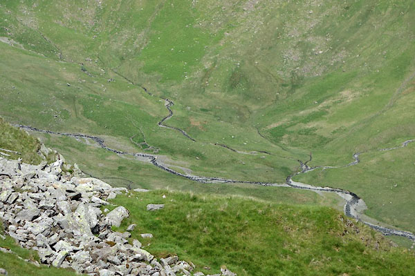 BYO63.jpg (taken 18.6.2013) |
||
|
|
||
 Lakes Guides menu.