 |
 |
   |
|
|
|
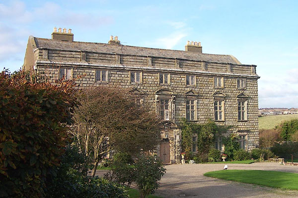
Moresby Hall |
| locality:- |
Parton |
| civil parish:- |
Parton (formerly Cumberland) |
| county:- |
Cumbria |
| locality type:- |
buildings |
| coordinates:- |
NX98342097 |
| 1Km square:- |
NX9820 |
| 10Km square:- |
NX92 |
|
|
|

BJY08.jpg (taken 14.10.2005)
|
|
|
| evidence:- |
old map:- OS County Series (Cmd 61 10)
placename:- Moresby Hall
|
| source data:- |
Maps, County Series maps of Great Britain, scales 6 and 25
inches to 1 mile, published by the Ordnance Survey, Southampton,
Hampshire, from about 1863 to 1948.
|
|
|
| evidence:- |
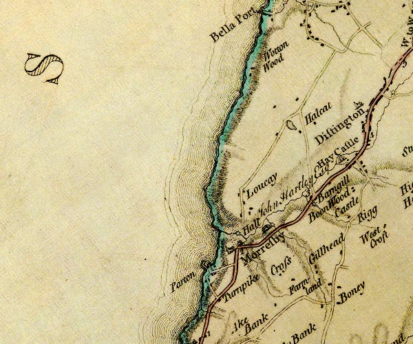
old map:- Donald 1774 (Cmd)
|
| source data:- |
Map, hand coloured engraving, 3x2 sheets, The County of Cumberland, scale about 1
inch to 1 mile, by Thomas Donald, engraved and published by Joseph Hodskinson, 29
Arundel Street, Strand, London, 1774.

D4NX92SE.jpg
"Hall"
house near Moresby
item:- Carlisle Library : Map 2
Image © Carlisle Library |
|
|
| evidence:- |
database:- Listed Buildings 2010
placename:- Moresby Hall
|
| source data:- |
courtesy of English Heritage
"MORESBY HALL / / / PARTON / COPELAND / CUMBRIA / I / 76148 / NX9834220970"
|
|
|
| evidence:- |
database:- Listed Buildings 2010
|
| source data:- |
courtesy of English Heritage
"FARM OUTBUILDING IMMEDIATELY NORTH OF MORESRBY HALL (AND FARMHOUSE) / / / PARTON /
COPELAND / CUMBRIA / II / 459560 / NX9835221012"
|
|
|
| evidence:- |
database:- Listed Buildings 2010
|
| source data:- |
courtesy of English Heritage
"ENTRANCE WALLS AND GATE PIERS TO MORESBY HALL / / / PARTON / COPELAND / CUMBRIA /
II / 76149 / NX9833420940"
|
|
|
notes:-
|
tower and hall included in farmhouse at rear of 17th century house
|
|
Perriam, D R &Robinson, J: 1998: Medieval Fortified Buildings of Cumbria: CWAAS::
ISBN 1 873124 23 6; plan and illustration
|
|
|
notes:-
|
Mary Queen of Scots is said to have stayed here.
|
|
There is a priest's hole. It is said that a roman catholic friend was hidden in it
by the squire, but the squire was called away and the friend was left to starve to
death.
|
|
|


 Lakes Guides menu.