button to main menu  Old Cumbria Gazetteer
Milton, Brampton
Milton
civil parish:-   Brampton (formerly Cumberland)
county:-   Cumbria
locality type:-   locality
locality type:-   buildings
coordinates:-   NY55476053 (etc) 
1Km square:-   NY5560
10Km square:-   NY56

evidence:-   old map:- Ogilby 1675 (plate 86) 
placename:-  Milton
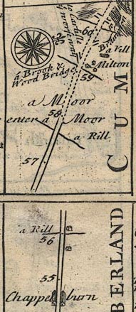
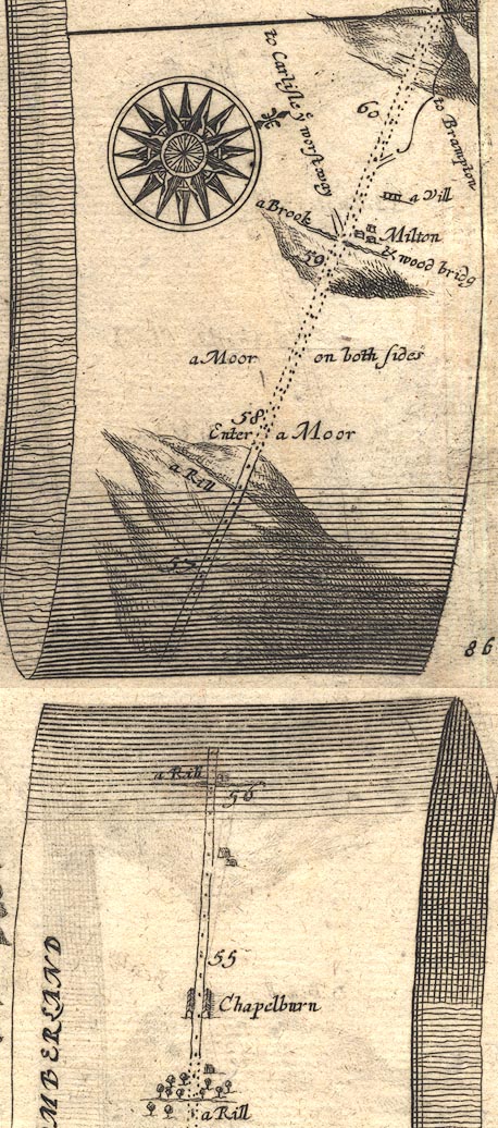
source data:-   Road strip map, uncoloured engraving, the Road from Tinmouth ... to Carlisle, scale about 1 inch to 1 mile, by John Ogilby, London, 1675.
image
OG86m055.jpg
In mile 59, Cumberland.  "Milton"
houses on the right of the road. 
item:-  JandMN : 73
Image © see bottom of page

evidence:-   old map:- Bowen 1720 (plate 232) 
placename:-  Milton
source data:-   Road strip map, road map, pl.232, part of The Road from Tinmouth to Carlisle, scale about 2 miles to 1 inch, with sections in Northumberland and Cumberland, published by Emanuel Bowen, St Katherines, London, 1720.
image
B232m55.jpg
"Milton"
Buildings north of road; mile 59. 
item:-  JandMN : 65.232
Image © see bottom of page

evidence:-   old map:- Bowen and Kitchin 1760
placename:-  Milton
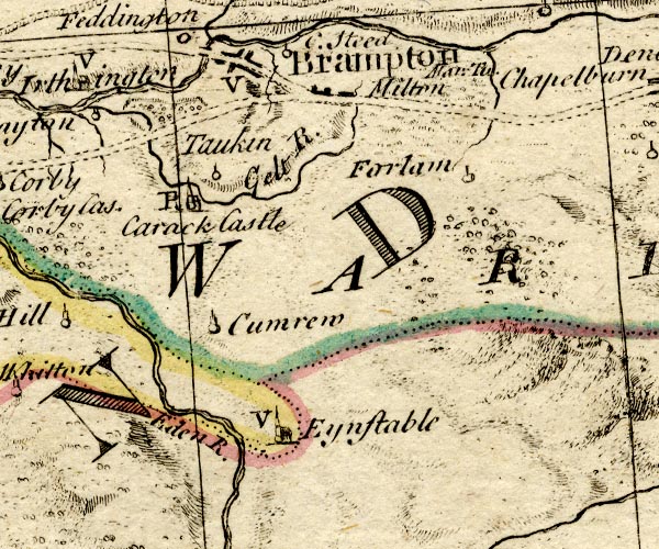
source data:-   Map, hand coloured engraving, A New Map of the Counties of Cumberland and Westmoreland Divided into their Respective Wards, scale about 4 miles to 1 inch, by Emanuel Bowen and Thomas Kitchin et al, published by T Bowles, Robert Sayer, and John Bowles, London, 1760.
image
BO18NY55.jpg
"Milton"
blocks, on road 
item:-  Armitt Library : 2008.14.10
Image © see bottom of page

evidence:-   old map:- Donald 1774 (Cmd) 
placename:-  Milton
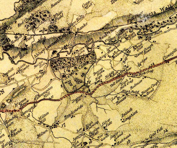
source data:-   Map, hand coloured engraving, 3x2 sheets, The County of Cumberland, scale about 1 inch to 1 mile, by Thomas Donald, engraved and published by Joseph Hodskinson, 29 Arundel Street, Strand, London, 1774.
image
D4NY56SE.jpg
"Milton"
block or blocks, labelled in lowercase; a hamlet or just a house 
item:-  Carlisle Library : Map 2
Image © Carlisle Library

evidence:-   old map:- Ford 1839 map
placename:-  Milton
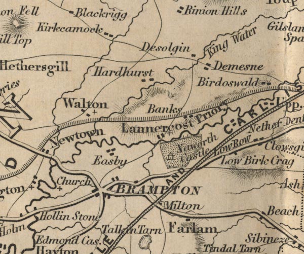
source data:-   Map, uncoloured engraving, Map of the Lake District of Cumberland, Westmoreland and Lancashire, scale about 3.5 miles to 1 inch, published by Charles Thurnam, Carlisle, and by R Groombridge, 5 Paternoster Row, London, 3rd edn 1843.
image
FD02NY56.jpg
"Milton"
item:-  JandMN : 100.1
Image © see bottom of page

places:-  
NY55326051 Beck Gate (Brampton)
NY55596073 Birch Heads (Brampton)
NY558605 Black Hill, Brampton (Brampton)
SD53168325 Broken Brow (Preston Richard)
SD53238309 Brokenbrow (Preston Richard)
NY55636056 chapel, Milton (Brampton)
SD52938299 High Banks Farm (Preston Richard) L
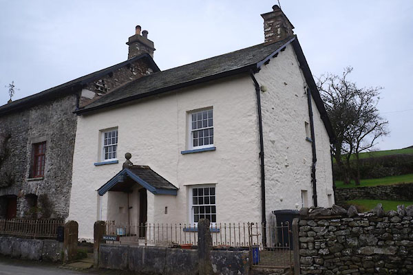
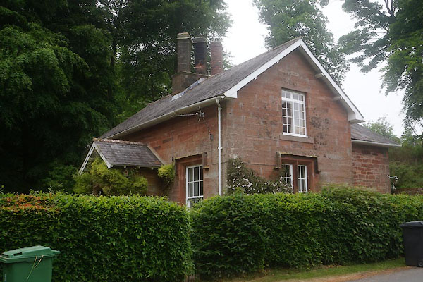
NY55516055 house, Milton (Brampton) L
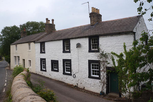
NY55546056 house, Milton (2) (Brampton)
SD52978299 house, Preston Richard (Preston Richard)
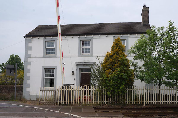
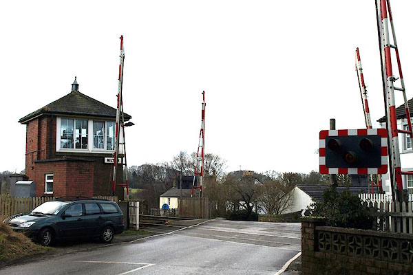
NY55556055 Milton Level Crossing (Brampton)
NY55066007 Lindens (Brampton)
NY55166059 mill, Milton (Brampton) once
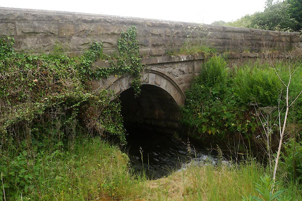
NY55356049 Milton Bridge (Brampton)
NY54966014 Milton Hall (Brampton)
NY54976058 Milton Hill (Brampton)
SD53058287 Milton Mill (Preston Richard) L
NY56016138 Miltonrigg Wood (Brampton)
NY55346028 railway bridge, Milton (Brampton)
NY55366052 village hall, Milton (Brampton)
button to lakes menu  Lakes Guides menu.