Old Cumbria Gazetteer
 |
 |
|
||
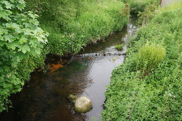
| Milton Beck | ||||
| runs into:- |  Quarry Beck Quarry Beck |
|||
|
|
||||
| civil parish:- | Brampton (formerly Cumberland) | |||
| civil parish:- | Farlam (formerly Cumberland) | |||
| county:- | Cumbria | |||
| locality type:- | river | |||
| 1Km square:- | NY5560 (etc) | |||
| 10Km square:- | NY56 | |||
|
|
||||
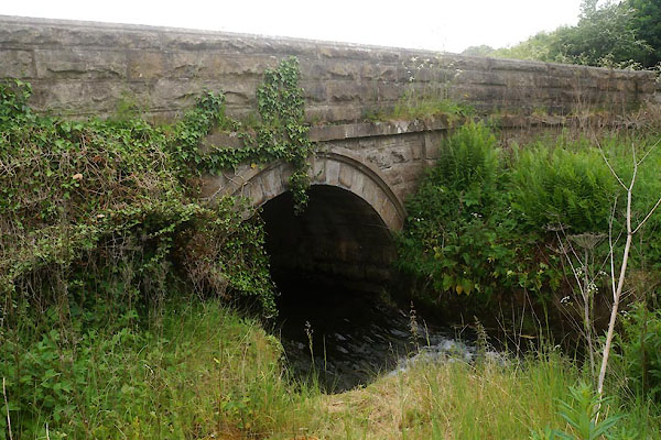
 CFC41.jpg At Milton Bridge, (taken 10.6.2016) |
||||
|
|
||||
| evidence:- | old map:- OS County Series (Cmd 18 6) placename:- Milton Beck |
|||
| source data:- | Maps, County Series maps of Great Britain, scales 6 and 25
inches to 1 mile, published by the Ordnance Survey, Southampton,
Hampshire, from about 1863 to 1948. OS County Series (Cmd 18 10) |
|||
|
|
||||
| evidence:- | old map:- Ogilby 1675 (plate 86) |
|||
| source data:- | Road strip map, uncoloured engraving, the Road from Tinmouth ...
to Carlisle, scale about 1 inch to 1 mile, by John Ogilby,
London, 1675.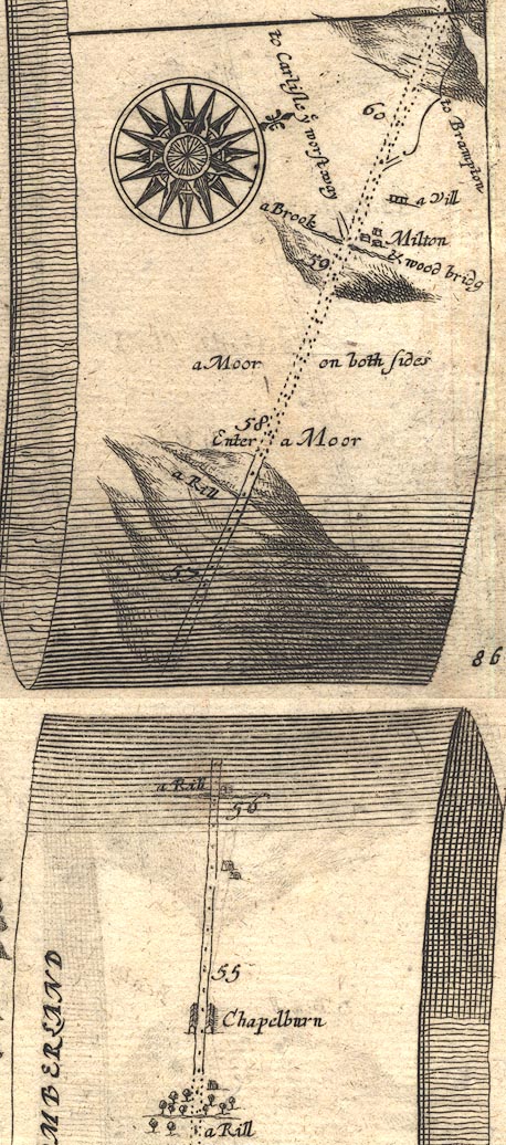 OG86m055.jpg In mile 59, Cumberland. Road crosses:- "a Brook &wood bridg" no bridge is drawn. item:- JandMN : 73 Image © see bottom of page |
|||
|
|
||||
| evidence:- | old map:- Bowen 1720 (plate 232) |
|||
| source data:- | Road strip map, road map, pl.232, part of The Road from Tinmouth
to Carlisle, scale about 2 miles to 1 inch, with sections in
Northumberland and Cumberland, published by Emanuel Bowen, St
Katherines, London, 1720.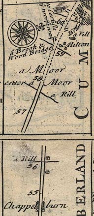 B232m55.jpg "a Brook &Wood Bridge" Mile 59 item:- JandMN : 65.232 Image © see bottom of page |
|||
|
|
||||
| places:- |
|
|||
|
||||
|
||||
|
||||
Lakes Guides menu.