 Old Cumbria Gazetteer
 |
 |
|
| Middle Tongue, Sedbergh | ||
| Middle Tongue | ||
| locality:- | Brant Fell | |
| locality:- | Howgill Fells | |
| civil parish:- | Sedbergh (formerly Yorkshire) | |
| county:- | Cumbria | |
| locality type:- | hill | |
| coordinates:- | SD677951 (etc) | |
| 1Km square:- | SD6795 | |
| 10Km square:- | SD69 | |
|
|
||
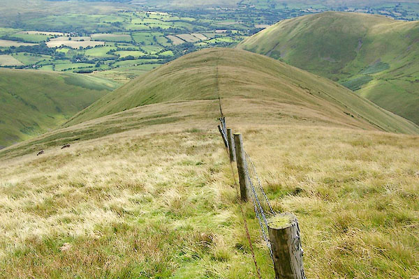 BRH30.jpg (taken 13.8.2009) 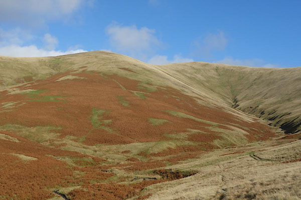 CCA37.jpg (taken 5.11.2014) |
||
|
|
||
| evidence:- | old map:- OS County Series (Yrk 48 11) placename:- Middle Tongue placename:- Tongue, Middle |
|
| source data:- | Maps, County Series maps of Great Britain, scales 6 and 25
inches to 1 mile, published by the Ordnance Survey, Southampton,
Hampshire, from about 1863 to 1948. |
|
|
|
||
| evidence:- | old map:- Jefferys 1770 (Wmd) |
|
| source data:- | Map, 4 sheets, The County of Westmoreland, scale 1 inch to 1
mile, surveyed 1768, and engraved and published by Thomas
Jefferys, London, 1770.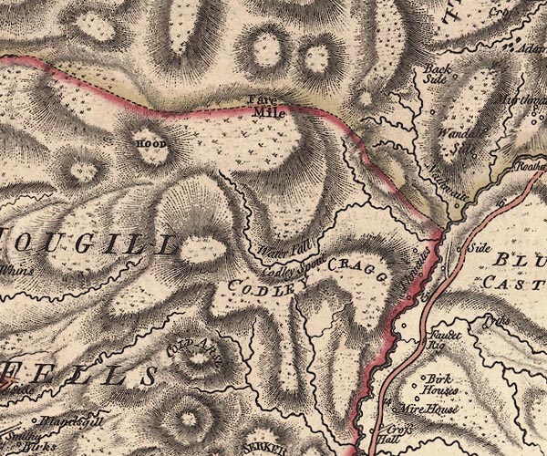 J5SD69NE.jpg hill hachuring; hill or mountain item:- National Library of Scotland : EME.s.47 Image © National Library of Scotland |
|
|
|
||
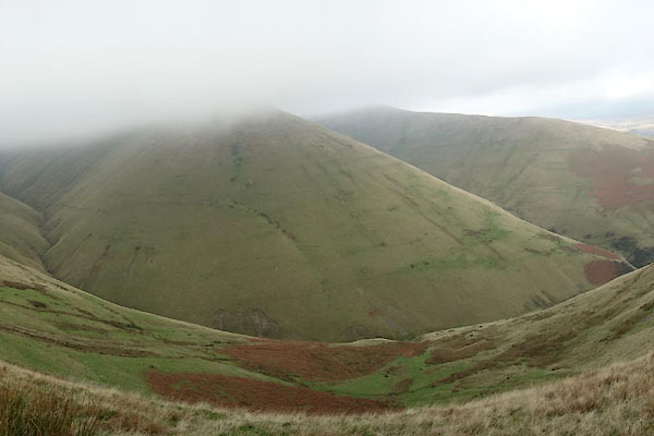 BZR85.jpg (some distortion in the foreground, from using the panorama function on the camera) (taken 22.11.2013) 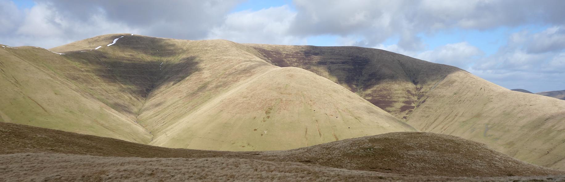 Click to enlarge CCP30.jpg Behind are Calders, Little Dummacks, Great Dummacks (taken 10.3.2015) 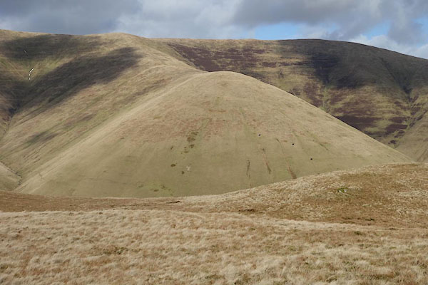 CCP31.jpg (taken 10.3.2015) |
||
|
|
||
 Lakes Guides menu.