 Old Cumbria Gazetteer
 |
 |
|
| Mallerstang Edge, Mallerstang | ||
| Mallerstang Edge | ||
| civil parish:- | Mallerstang (formerly Westmorland) | |
| county:- | Cumbria | |
| locality type:- | hill | |
| coordinates:- | NY79630183 (etc) | |
| 1Km square:- | NY7901 | |
| 10Km square:- | NY70 | |
|
|
||
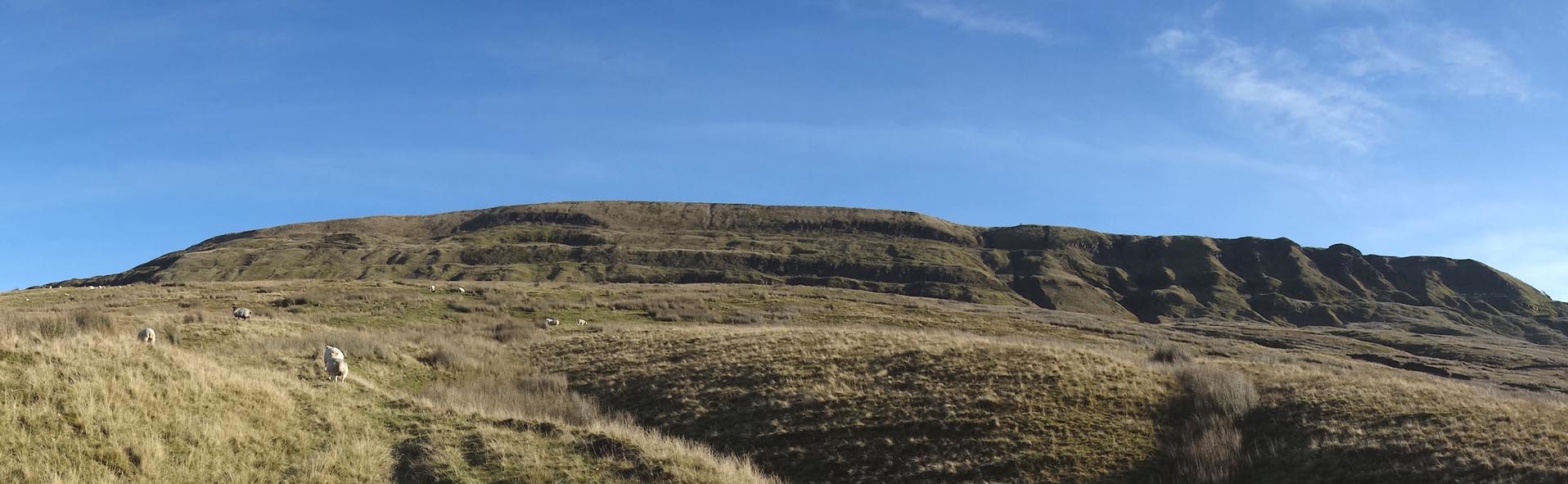 Click to enlarge CGW67.jpg (taken 8.11.2017) 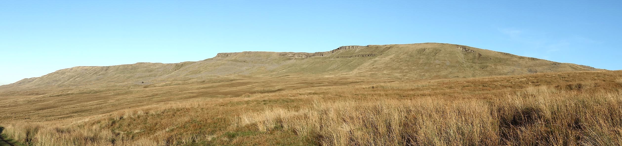 Click to enlarge CEH32.jpg (taken 2.11.2015) |
||
|
|
||
| evidence:- | old map:- Jefferys 1770 (Wmd) |
|
| source data:- | Map, 4 sheets, The County of Westmoreland, scale 1 inch to 1
mile, surveyed 1768, and engraved and published by Thomas
Jefferys, London, 1770.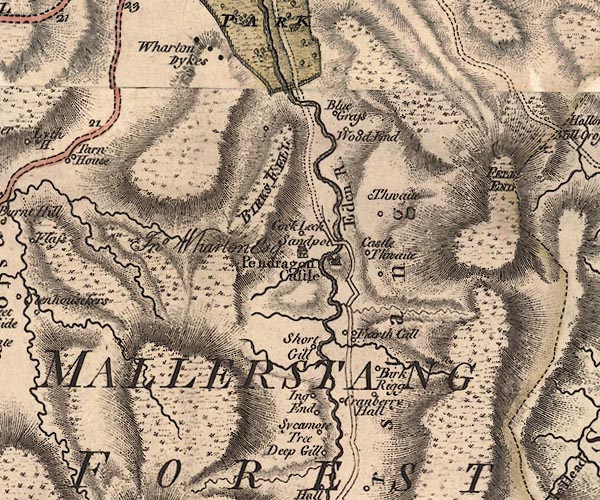 J5NY70SE.jpg hill hachuring; hill or mountain item:- National Library of Scotland : EME.s.47 Image © National Library of Scotland |
|
|
|
||
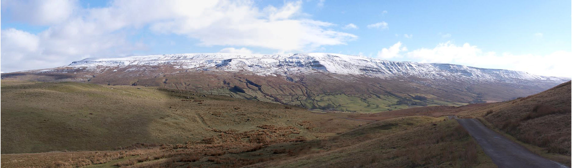 Click to enlarge BLQ34.jpg from NW. (taken 25.2.2006) 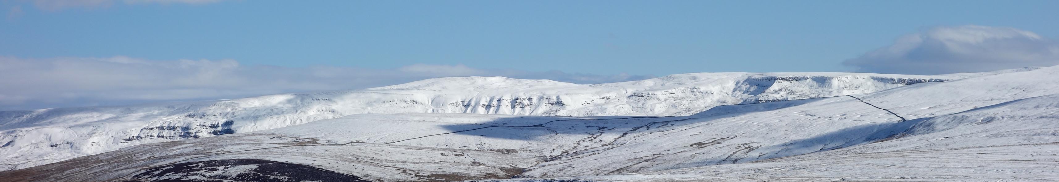 Click to enlarge CER37.jpg from W. (taken 7.3.2016) |
||
|
|
||
 Lakes Guides menu.