 |
 |
   |
|
|
|
Lyth Valley |
| locality:- |
Gilpin, River |
| civil parish:- |
Crosthwaite and Lyth (formerly Westmorland) |
| civil parish:- |
Levens (formerly Westmorland) |
| county:- |
Cumbria |
| locality type:- |
valley |
| locality type:- |
locality |
| coordinates:- |
SD46888786 (etc etc) |
| 1Km square:- |
SD4687 |
| 10Km square:- |
SD48 |
|
|
| evidence:- |
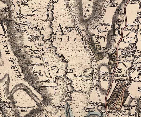
old map:- Jefferys 1770 (Wmd)
placename:- Lyth
|
| source data:- |
Map, 4 sheets, The County of Westmoreland, scale 1 inch to 1
mile, surveyed 1768, and engraved and published by Thomas
Jefferys, London, 1770.

J5SD48NE.jpg
"Lyth"
area
item:- National Library of Scotland : EME.s.47
Image © National Library of Scotland |
|
|
| evidence:- |
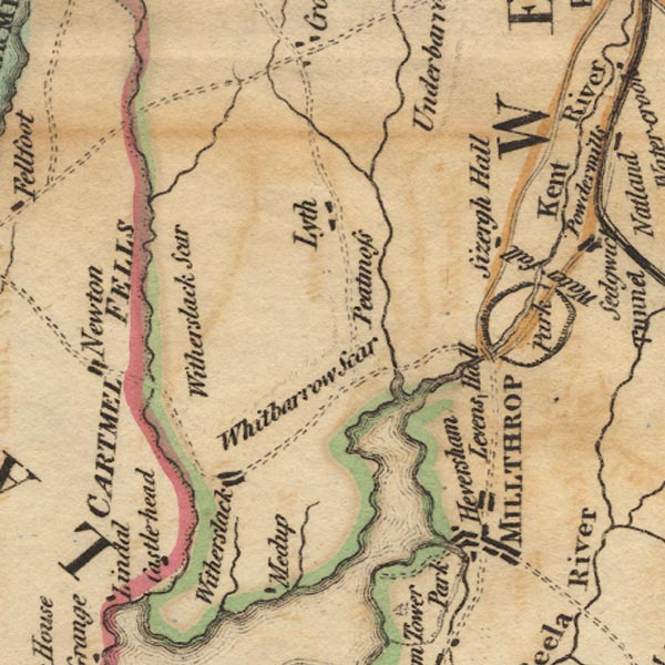
old map:- West 1784 map
placename:- Lyth
|
| source data:- |
Map, hand coloured engraving, A Map of the Lakes in Cumberland,
Westmorland and Lancashire, scale about 3.5 miles to 1 inch,
engraved by Paas, 53 Holborn, London, about 1784.

Ws02SD48.jpg
item:- Armitt Library : A1221.1
Image © see bottom of page
|
|
|
| evidence:- |
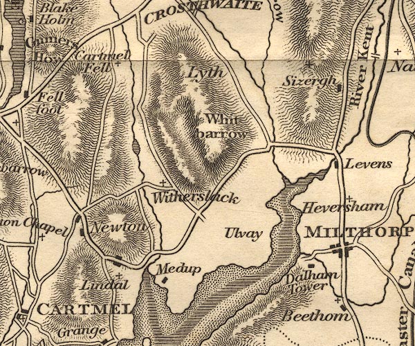
old map:- Otley 1818
placename:- Lyth
|
| source data:- |
Map, uncoloured engraving, The District of the Lakes,
Cumberland, Westmorland, and Lancashire, scale about 4 miles to
1 inch, by Jonathan Otley, 1818, engraved by J and G Menzies,
Edinburgh, Scotland, published by Jonathan Otley, Keswick,
Cumberland, et al, 1833.

OT02SD48.jpg
item:- JandMN : 48.1
Image © see bottom of page
|
|
|
| evidence:- |
old postcard:-
|
| source data:- |
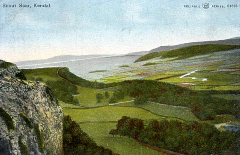
Postcard, Reliable Series, colour printed photograph, view from Scout Scar looking
across the Lyth Valley, Westmorland, published by W R and S, mid 20th century?
 click to enlarge click to enlarge
PH0089.jpg
printed at top:- "Scout Scar, Kendal / RELIABLE W R &S SERIES. 01823"
item:- JandMN : 957
Image © see bottom of page
|
|
|
notes:-
|
The vvaley is famous for its damsons, blossom in spring. They are said to have been
brought from Damascus for their dye when the area was busy with the woollen trade.
|
|
|


 click to enlarge
 Lakes Guides menu.