 Old Cumbria Gazetteer
 |
 |
|
| Lyneside Station, Westlinton | ||
| Lyneside Station | ||
| West Linton Station | ||
| Lyneside | ||
| site name:- | Border Union Railway | |
| civil parish:- | Westlinton (formerly Cumberland) | |
| county:- | Cumbria | |
| locality type:- | railway station (ex) | |
| coordinates:- | NY38786437 | |
| 1Km square:- | NY3864 | |
| 10Km square:- | NY36 | |
| SummaryText:- | Opened as West Linton Station 1861; renamed Lineside Station 1870; closed 1929. | |
|
|
||
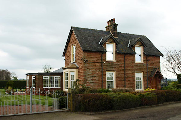 BQJ56.jpg (taken 11.4.2009) 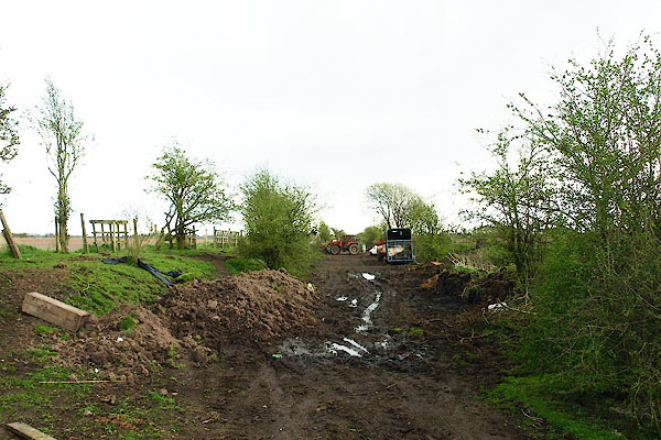 BQJ58.jpg View S. (taken 11.4.2009) |
||
|
|
||
| evidence:- | old map:- OS County Series (Cmd 10) placename:- Westlinton Station |
|
| source data:- | Maps, County Series maps of Great Britain, scales 6 and 25
inches to 1 mile, published by the Ordnance Survey, Southampton,
Hampshire, from about 1863 to 1948. "Westlinton Station" |
|
|
|
||
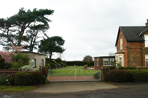 BQJ57.jpg View N, now the garden. (taken 11.4.2009) |
||
|
|
||
| MN photo:- |
The railway is now a footpath, but here at the start is diverted around land already
purchased. |
|
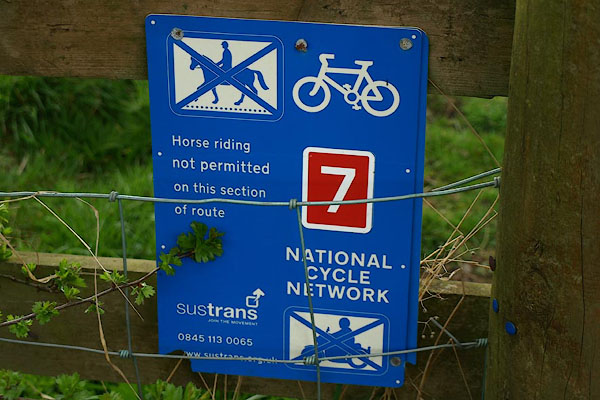 BQJ59.jpg Sustrans notice. (taken 11.4.2009) 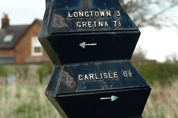 BQJ60.jpg Directions on a guide post. (taken 11.4.2009) 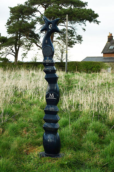 BQJ61.jpg Guide post. (taken 11.4.2009) |
||
|
|
||
 Lakes Guides menu.