 Old Cumbria Gazetteer
 |
 |
|
| Loweswater Fell, Loweswater | ||
| Loweswater Fell | ||
| civil parish:- | Loweswater (formerly Cumberland) | |
| county:- | Cumbria | |
| locality type:- | hill | |
| locality type:- | fell | |
| coordinates:- | NY13312285 | |
| 1Km square:- | NY1322 | |
| 10Km square:- | NY12 | |
|
|
||
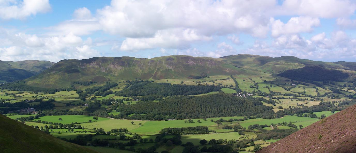 Click to enlarge BXC38.jpg (taken 8.8.2012) 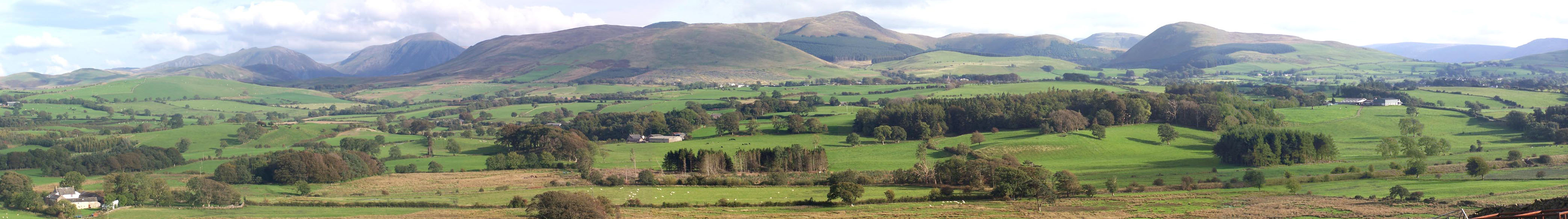 Click to enlarge BMT12.jpg (taken 30.9.2006) |
||
|
|
||
| evidence:- | old map:- OS County Series (Cmd 63 5) placename:- Loweswater Fell |
|
| source data:- | Maps, County Series maps of Great Britain, scales 6 and 25
inches to 1 mile, published by the Ordnance Survey, Southampton,
Hampshire, from about 1863 to 1948. |
|
|
|
||
 Lakes Guides menu.