


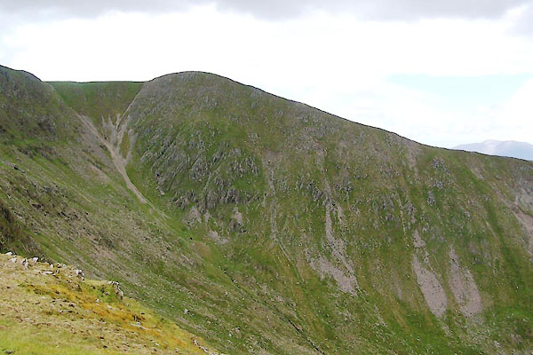
BUV02.jpg (taken 20.6.2011)
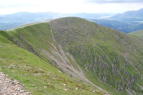
BRB68.jpg (taken 9.7.2009)
placename:- Helvellyn Low Man
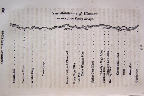 click to enlarge
O75E05.jpg
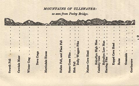
p.109 in A Concise Description of the English Lakes, by Jonathan Otley, 4th edition, 1830. "The Mountains of Ulswater: / as seen from Pooley Bridge."
"Swarth Fell / Cawdale Moor / Winter Crag / Dove Crags / Hallen Fell, and Place Fell / Stone Cross Pike / Birk Fell / Dolly Waggon Pike / Nether Cove Head / Helvellyn High Man / Catchety Cam / Helvellyn Low Man / Herring Pike / Keppel Cove Head / Raise / Greenside / Gowbarrow"
item:- Armitt Library : A1175.5
Image © see bottom of page
placename:- Helvellyn Low Man
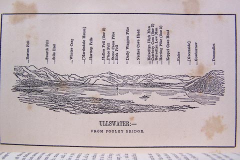 click to enlarge
O80E07.jpg
item:- Armitt Library : A1180.8
Image © see bottom of page
placename:- Helvellyn Low Man
placename:- Low Man, Helvellyn
 click to enlarge
OT2E12.jpg
Printed on p.113 of A Concise Description of the English Lakes, by Jonathan Otley, 5th edition, 1834. "MOUNTAINS OF ULLSWATER: as seen from Pooley Bridge."
Mountains are listed:- "Swarth Fell / Cawdale Moor / Winter Crag / Dove Crags / Martindale Hause / Hallen Fell, and Place Fell / Stone Cross Pike / Birk Fell / Dolly Waggon Pike / Nether Cove Head / Helvellyn High Man / Catchety Cam / Helvellyn Low Man / Herring Pike / Keppel Cove Head / Raise / Greenside / Gowbarrow"
item:- JandMN : 48.13
Image © see bottom of page
placename:- Helvellyn, Low Man
 click to enlarge
Jk01E1.jpg
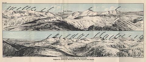
"... Helvellyn, Low Man ..."
item:- JandMN : 28.5
Image © see bottom of page
placename:- Lower Man
 click to enlarge
MW1E02.jpg
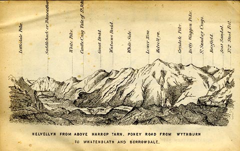
Tipped in before p.1 of The English Lakes, Peaks and Passes, from Kendal to Keswick, by George King Matthew.
printed at bottom:- "HELVELLYN FROM ABOVE HARROP TARN, PONEY ROAD FROM WYTHBURN TO WHATENDLATH AND BORROWDALE."
printed at caption to mountains:- "... Lower Man. ..."
item:- Armitt Library : A1168.2
Image © see bottom of page

 Lakes Guides menu.