 Old Cumbria Gazetteer
 |
 |
|
| Lower Dyke, Skelton | ||
| Lower Dyke | ||
| civil parish:- | Skelton (formerly Cumberland) | |
| county:- | Cumbria | |
| locality type:- | buildings | |
| coordinates:- | NY46153827 | |
| 1Km square:- | NY4638 | |
| 10Km square:- | NY43 | |
|
|
||
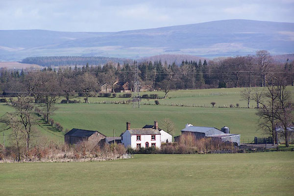 BNH77.jpg (taken 9.3.2007) |
||
|
|
||
| evidence:- | old map:- OS County Series (Cmd 39 14) placename:- Lower Dyke placename:- Dyke, Lower |
|
| source data:- | Maps, County Series maps of Great Britain, scales 6 and 25
inches to 1 mile, published by the Ordnance Survey, Southampton,
Hampshire, from about 1863 to 1948. |
|
|
|
||
 Lakes Guides menu.