 Old Cumbria Gazetteer
 |
 |
|
| Low Huddlesceugh, Kirkoswald | ||
| Low Huddlesceugh | ||
| civil parish:- | Kirkoswald (formerly Cumberland) | |
| county:- | Cumbria | |
| locality type:- | buildings | |
| coordinates:- | NY59344221 | |
| 1Km square:- | NY5942 | |
| 10Km square:- | NY54 | |
|
|
||
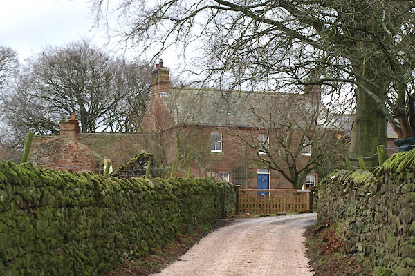 BXZ87.jpg (taken 15.3.2013) 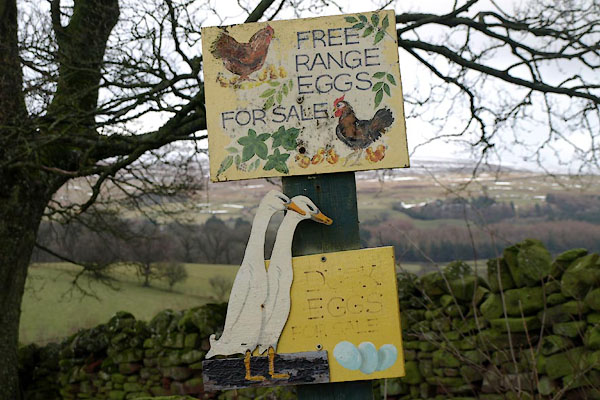 BXZ88.jpg Eggs for sale. (taken 15.3.2013) |
||
|
|
||
| evidence:- | old map:- OS County Series (Cmd 40 7) placename:- Low Huddlesceugh placename:- Huddlesceugh, Low |
|
| source data:- | Maps, County Series maps of Great Britain, scales 6 and 25
inches to 1 mile, published by the Ordnance Survey, Southampton,
Hampshire, from about 1863 to 1948. |
|
|
|
||
| evidence:- | database:- Listed Buildings 2010 placename:- Low Huddlesceugh item:- date stone (1784) |
|
| source data:- | courtesy of English Heritage "LOW HUDDLESCEUGH / / / KIRKOSWALD / EDEN / CUMBRIA / II / 73510 / NY5934942210" |
|
|
|
||
| evidence:- | database:- Listed Buildings 2010 item:- date stone |
|
| source data:- | courtesy of English Heritage "BARN TO WEST OF LOW HUDDLESCEUGH / / / KIRKOSWALD / EDEN / CUMBRIA / II / 73511 / NY5933242200" |
|
|
|
||
 Lakes Guides menu.