


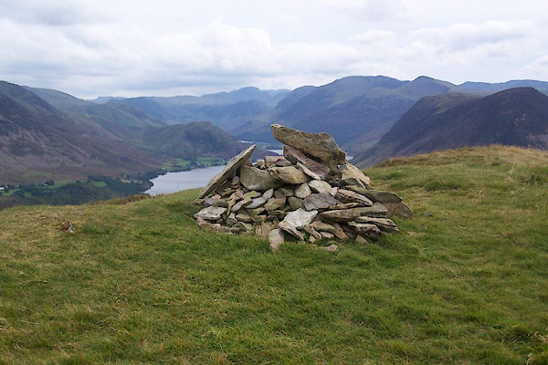
BXK31.jpg Cairn at summit.
(taken 23.9.2012)
placename:- Low Fell
placename:- Fell, Low
placename:- Lowfell
 goto source
Page 139:- "... Behind all, Low-fell raises its verdant front; a sweet contrast to his murky neighbours, and a pleasing termination, either as seen from the top of this rock [Buttermere Hause], ..."
placename:- Low Fell
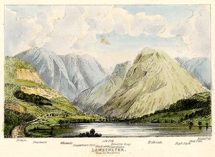 click to enlarge
TAT216.jpg
Included in The Lakes of England, by W F Topham.
printed at bottom:- "LOWESWATER, / from the North West."
printed at bottom:- "Bottom. / Grasmoor. / Whiteless. / Buttermere Moss. / Hindscarth. / Low Fell. / Glaramara. / Honister Crag. / Melbreak. / High Style. / Red Pike. / Blake Fell."
item:- Armitt Library : A1067.16
Image © see bottom of page
placename:- Low Fell
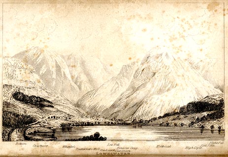 click to enlarge
TAT134.jpg
The print is captioned with mountain names and acts as an outline view.
Frontispiece to The Lakes of England, by George Tattersall (listed to be inserted opposite p.35).
printed at bottom:- "LOWESWATER. / from the North West."
printed at bottom left to right:- "Bottom. / Grasmoor. / Whiteless. / Buttermere &Moss. / Hindscarth. / Low Fell. / Glaramara. / Honister Crag. / Melbreak. / High Style. / Red Pike. / Blake Fell."
item:- Armitt Library : A1204.35
Image © see bottom of page
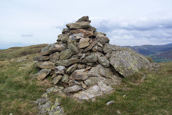
BXK29.jpg Cairn,
(taken 23.9.2012)
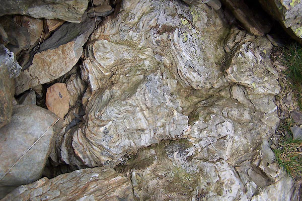
BXK30.jpg Rock in cairn.
(taken 23.9.2012)
