 Old Cumbria Gazetteer
 |
 |
|
| Low Dykes, Clifton | ||
| Low Dykes | ||
| Low Dykes Farm | ||
| locality:- | Clifton Dykes | |
| civil parish:- | Clifton (formerly Westmorland) | |
| county:- | Cumbria | |
| locality type:- | buildings | |
| coordinates:- | NY54962674 | |
| 1Km square:- | NY5426 | |
| 10Km square:- | NY52 | |
|
|
||
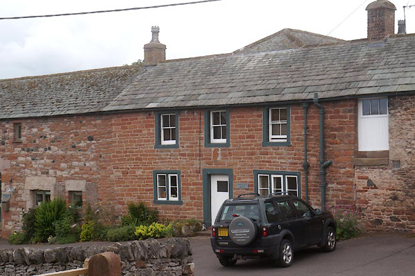 CDP68.jpg (taken 24.7.2015) |
||
|
|
||
| evidence:- | old map:- OS County Series (Wmd 8 1) placename:- Low Dikes placename:- Dikes, Low |
|
| source data:- | Maps, County Series maps of Great Britain, scales 6 and 25
inches to 1 mile, published by the Ordnance Survey, Southampton,
Hampshire, from about 1863 to 1948. |
|
|
|
||
| evidence:- | database:- Listed Buildings 2010 placename:- Low Dykes |
|
| source data:- | courtesy of English Heritage "LOW DYKES WITH BARN AND STABLE ADJOINING / / / CLIFTON / EDEN / CUMBRIA / II / 74234 / NY5496226746" |
|
|
|
||
 Lakes Guides menu.