 Old Cumbria Gazetteer
 |
 |
|
| Low Borrowdale, Tebay | ||
| Low Borrowdale | ||
| locality:- | Borrowdale | |
| civil parish:- | Tebay (formerly Westmorland) | |
| county:- | Cumbria | |
| locality type:- | buildings | |
| coordinates:- | NY57900206 | |
| 1Km square:- | NY5702 | |
| 10Km square:- | NY50 | |
|
|
||
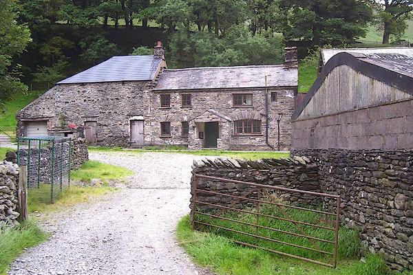 BPN74.jpg (taken 23.7.2008) 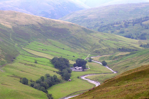 BPN73.jpg (taken 23.7.2008) |
||
|
|
||
| evidence:- | old map:- OS County Series (Wmd 28 15) placename:- Low Borrowdale placename:- Borrowdale, Low |
|
| source data:- | Maps, County Series maps of Great Britain, scales 6 and 25
inches to 1 mile, published by the Ordnance Survey, Southampton,
Hampshire, from about 1863 to 1948. |
|
|
|
||
| evidence:- | hearth tax returns:- Hearth Tax 1675 placename:- Borradale |
|
| source data:- | Records, hearth tax survey returns, Westmorland, 1674/75. "Borradale" in "Teaby" |
|
|
|
||
| evidence:- | database:- Listed Buildings 2010 placename:- Low Borrowdale Farm |
|
| source data:- | courtesy of English Heritage "LOW BORROWDALE FARMHOUSE AND ADJOINING BANK BARN / / / TEBAY / EDEN / CUMBRIA / II / 74196 / NY5790502061" |
|
|
|
||
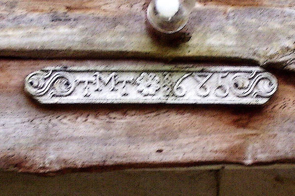 BPN75.jpg Date 'stone' of ?wood (sorry about the camera shake) "M / T T 1685" (taken 23.7.2008) |
||
|
|
||
 Lakes Guides menu.