 Old Cumbria Gazetteer
 |
 |
|
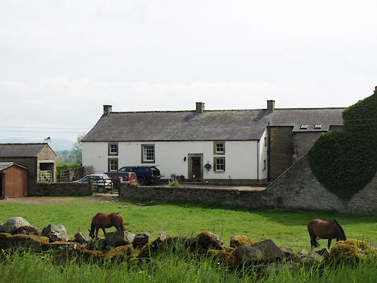
| Longlands, Kingwater | ||
| Longlands | ||
| civil parish:- | Kingwater (formerly Cumberland) | |
| county:- | Cumbria | |
| locality type:- | buildings | |
| coordinates:- | NY55596760 | |
| 1Km square:- | NY5567 | |
| 10Km square:- | NY56 | |
|
|
||
 BWQ45.jpg (taken 1.6.2012) |
||
|
|
||
| evidence:- | old map:- OS County Series (Cmd 12 6) placename:- Longlands |
|
| source data:- | Maps, County Series maps of Great Britain, scales 6 and 25
inches to 1 mile, published by the Ordnance Survey, Southampton,
Hampshire, from about 1863 to 1948. |
|
|
|
||
| evidence:- | database:- Listed Buildings 2010 placename:- Longlands Farm item:- date stone (1822); date stone (1694) |
|
| source data:- | courtesy of English Heritage "LONGLANDS FARMHOUSE AND ADJOINING RANGES / / / KINGWATER / CARLISLE / CUMBRIA / II / 78184 / NY5557067587" |
|
|
|
||
 Lakes Guides menu.