

Brook, D & Davies, G & Long, M H &Sutcliffe, J R: 1975: Northern Caves, vol.4 Whernside and Gragareth: Dalesman Books:: ISBN 0 85206 259 1
placename:- Long Drop Hole
 goto source
page 70:- "..."
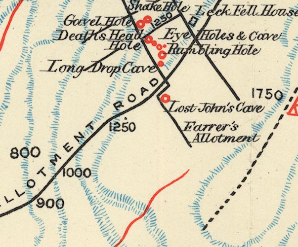
"Long Drop Cave."
"In the lower part of the same allotment [Fenwick's Allotment], but in a hollow running down it, nearer its central portion, a rocky cavity, containing the mouth of a third cave may be found without difficulty. Having entered this and duly taken the precaution to light a candle for the purposes both of investigation and safety, our progress was unceremoniously arrested about eight or nine yards from the mouth by a hideous rift, and upon casting some stones downwards, to take cognisance of the nature of the place, there was found to be a sheer fall of considerable depth. The measuring line not having been left outside, the plummet was sent to investigate that"
 goto source
page 71:- "which we did not happen to be able to do personally, and a sudden descent of thirty feet might have rewarded carelessness."
placename:- Long Drop Cave

BS1SD67U.jpg
"Long Drop Cave"
item:- private collection : 27.1
Image © see bottom of page
