 Old Cumbria Gazetteer
 |
 |
|
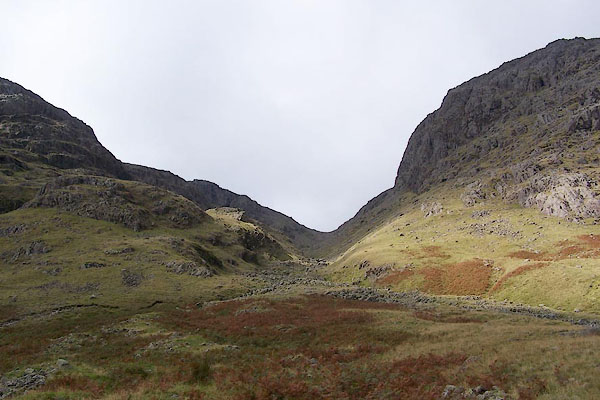
| Little Narrowcove, Eskdale | ||
| Little Narrowcove | ||
| civil parish:- | Eskdale (formerly Cumberland) | |
| county:- | Cumbria | |
| locality type:- | valley | |
| locality type:- | river | |
| coordinates:- | NY224068 (etc) | |
| 1Km square:- | NY2206 | |
| 10Km square:- | NY20 | |
|
|
||
 BRM63.jpg (taken 14.9.2009)  BYN24.jpg (taken 4.6.2013) |
||
|
|
||
| evidence:- | old map:- OS County Series (Cmd 74 16) placename:- Little Narrow Cove placename:- Narrow Cove, Little |
|
| source data:- | Maps, County Series maps of Great Britain, scales 6 and 25
inches to 1 mile, published by the Ordnance Survey, Southampton,
Hampshire, from about 1863 to 1948. |
|
|
|
||
| evidence:- | text:- placename:- Rake Gill |
|
| source data:- | Poucher, W A: 1983 (9th edn) &1960: Lakeland Peaks, The: Constable (London):: p.80 | |
|
|
||
 BYN25.jpg (taken 4.6.2013)  BYN26.jpg (taken 4.6.2013)  BYN27.jpg (taken 4.6.2013)  BYN28.jpg (taken 4.6.2013)  Click to enlarge BYN29.jpg 300 degree Panorama from Pen, Rough Crag, Chambers Crag, Broadcrag Col, Green Crag, and Ill Crag. (taken 4.6.2013)  BYN36.jpg Wood sorrel, Oxalis acetosella. (taken 4.6.2013)  BYN37.jpg Rock, (taken 4.6.2013)  BYN38.jpg Rock, (taken 4.6.2013) |
||
|
|
||
 Lakes Guides menu.