 Old Cumbria Gazetteer
 |
 |
|
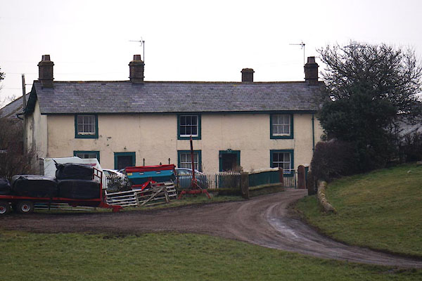
| Lingstubbs, Penrith | ||
| Lingstubbs | ||
| Street:- | Greystoke Road | |
| civil parish:- | Penrith (formerly Cumberland) | |
| county:- | Cumbria | |
| locality type:- | buildings | |
| coordinates:- | NY49773002 | |
| 1Km square:- | NY4930 | |
| 10Km square:- | NY43 | |
|
|
||
 CCK16.jpg (taken 13.2.2015) |
||
 "G W / 1777" Date stone:- |
||
|
|
||
| evidence:- | old map:- OS County Series (Cmd 58 4) placename:- Lingstubs |
|
| source data:- | Maps, County Series maps of Great Britain, scales 6 and 25
inches to 1 mile, published by the Ordnance Survey, Southampton,
Hampshire, from about 1863 to 1948. |
|
|
|
||
| evidence:- | database:- Listed Buildings 2010 placename:- Lingstubs item:- date stone (1777) |
|
| source data:- | courtesy of English Heritage "LINGSTUBS / / GREYSTOKE ROAD / PENRITH / EDEN / CUMBRIA / II / 72869 / NY4977530020" |
|
|
|
||
| evidence:- | database:- Listed Buildings 2010 |
|
| source data:- | courtesy of English Heritage "BARN AND FARM BUILDINGS TO REAR OF LINGSTUBS / / GREYSTOKE ROAD / PENRITH / EDEN / CUMBRIA / II / 72870 / NY4976930006" |
|
|
|
||
 Lakes Guides menu.