 Old Cumbria Gazetteer
 |
 |
|
| Laverock Bridge, Scalthwaiterigg | ||
| Laverock Bridge | ||
| site name:- | Mint, River | |
| civil parish:- | Scalthwaiterigg (formerly Westmorland) | |
| civil parish:- | Skelsmergh (formerly Westmorland) | |
| county:- | Cumbria | |
| locality type:- | packhorse bridge | |
| locality type:- | bridge (ex) | |
| coordinates:- | SD53569518 | |
| 1Km square:- | SD5395 | |
| 10Km square:- | SD59 | |
|
|
||
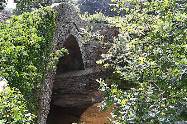
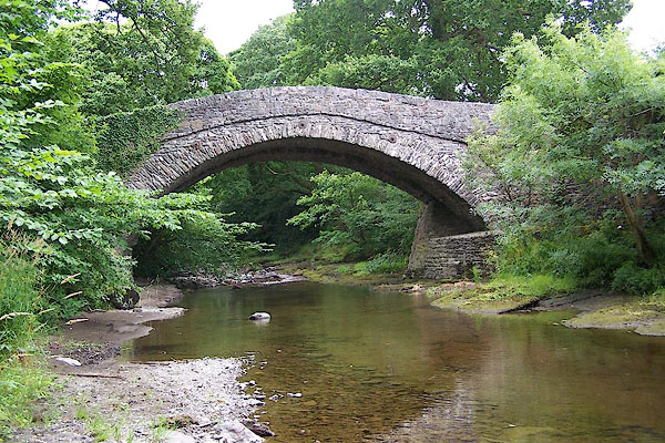 BJR17.jpg From downstream. (taken 3.8.2005) 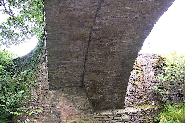 BJR18.jpg New and old arches; a packhorse bridge widened. (taken 3.8.2005) |
||
|
|
||
| evidence:- | old map:- OS County Series (Wmd 34 13) placename:- Laverock Bridge |
|
| source data:- | Maps, County Series maps of Great Britain, scales 6 and 25
inches to 1 mile, published by the Ordnance Survey, Southampton,
Hampshire, from about 1863 to 1948. |
|
|
|
||
| evidence:- | old map:- Saxton 1579 |
|
| source data:- | Map, hand coloured engraving, Westmorlandiae et Cumberlandiae Comitatus ie Westmorland
and Cumberland, scale about 5 miles to 1 inch, by Christopher Saxton, London, engraved
by Augustinus Ryther, 1576, published 1579-1645.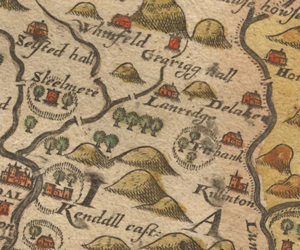 Sax9SD59.jpg Over River Mint. item:- private collection : 2 Image © see bottom of page |
|
|
|
||
| evidence:- | old map:- Speed 1611 (Wmd) |
|
| source data:- | Map, hand coloured engraving, The Countie Westmorland and
Kendale the Cheif Towne, scale about 2.5 miles to 1 inch, by
John Speed, 1610, published by George Humble, Popes Head Alley,
London, 1611-12.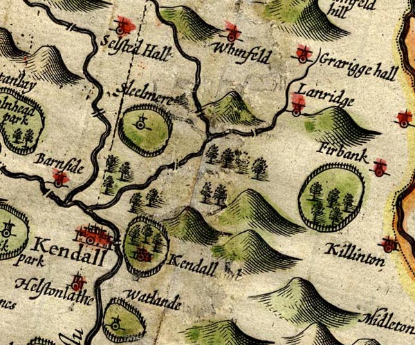 SP14SD59.jpg double line across the Mint item:- Armitt Library : 2008.14.5 Image © see bottom of page |
|
|
|
||
| evidence:- | old map:- Jansson 1646 |
|
| source data:- | Map, hand coloured engraving, Cumbria and Westmoria, ie
Cumberland and Westmorland, scale about 3.5 miles to 1 inch, by
John Jansson, Amsterdam, Netherlands, 1646.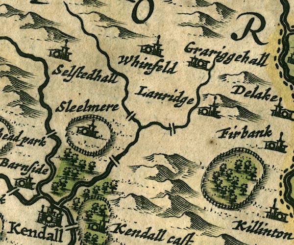 JAN3SD59.jpg Buildings and tower. item:- JandMN : 88 Image © see bottom of page |
|
|
|
||
| evidence:- | old map:- Ogilby 1675 (plate 38) |
|
| source data:- | Road strip map, hand coloured engraving, continuation of the
Road from London to Carlisle, scale about 1 inch to 1 mile, by
John Ogilby, London, 1675.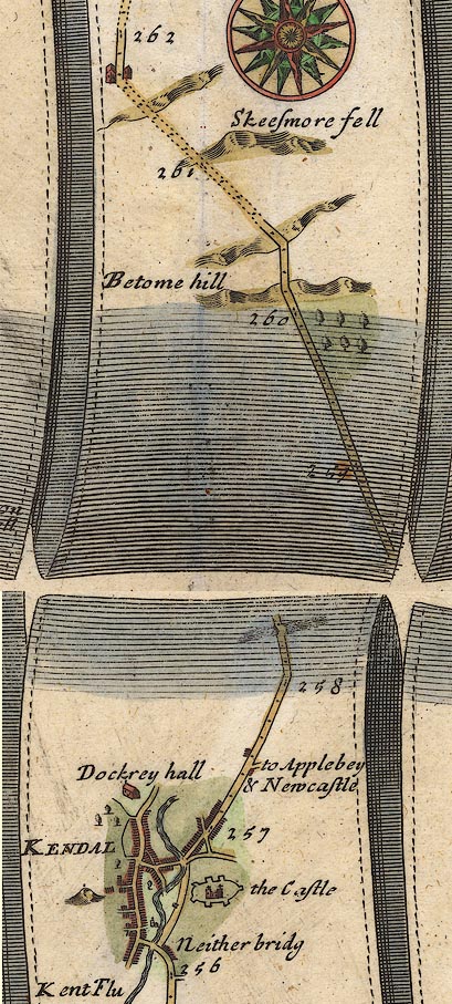 OG38m257.jpg In mile 258, Westmorland. A bridge over a river. item:- JandMN : 21 Image © see bottom of page |
|
|
|
||
| evidence:- | probably old map:- Seller 1694 (Wmd) |
|
| source data:- | Map, hand coloured engraving, Westmorland, scale about 8 miles
to 1 inch, by John Seller, 1694. click to enlarge click to enlargeSEL7.jpg two lines cross a stream; bridge item:- Dove Cottage : 2007.38.87 Image © see bottom of page |
|
|
|
||
| evidence:- | possibly old map:- Morden 1695 (Wmd) |
|
| source data:- | Map, hand coloured engraving, Westmorland, scale about 2.5 miles to 1 inch, by Robert
Morden, published by Abel Swale, the Unicorn, St Paul's Churchyard, Awnsham, and John
Churchill, the Black Swan, Paternoster Row, London, 1695.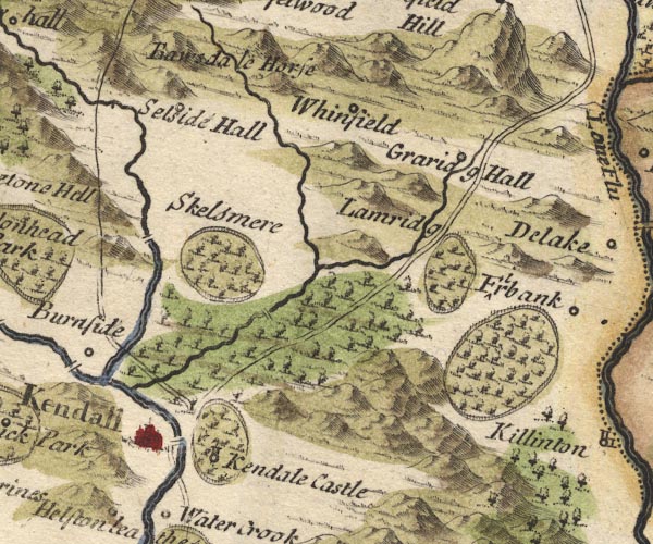 MD10SD59.jpg Double line over a stream, over the Mint. item:- JandMN : 24 Image © see bottom of page |
|
|
|
||
| evidence:- | old map:- Jefferys 1770 (Wmd) |
|
| source data:- | Map, 4 sheets, The County of Westmoreland, scale 1 inch to 1
mile, surveyed 1768, and engraved and published by Thomas
Jefferys, London, 1770.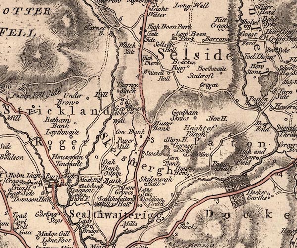 J5SD59NW.jpg double line, road, across a stream; bridge item:- National Library of Scotland : EME.s.47 Image © National Library of Scotland |
|
|
|
||
| evidence:- | old map:- Otley 1818 |
|
| source data:- | Map, uncoloured engraving, The District of the Lakes,
Cumberland, Westmorland, and Lancashire, scale about 4 miles to
1 inch, by Jonathan Otley, 1818, engraved by J and G Menzies,
Edinburgh, Scotland, published by Jonathan Otley, Keswick,
Cumberland, et al, 1833.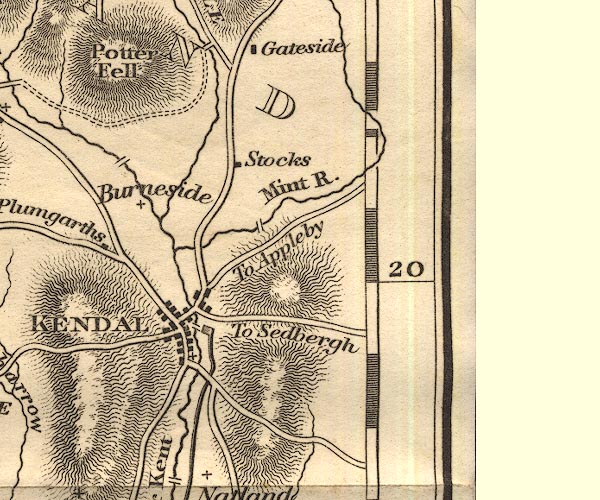 OT02SD59.jpg Implied by a road across the Mint. item:- JandMN : 48.1 Image © see bottom of page |
|
|
|
||
| evidence:- | database:- Listed Buildings 2010 placename:- Laverock Bridge |
|
| source data:- | courtesy of English Heritage "LAVEROCK BRIDGE / / MEALBANK ROAD / SCALTHWAITERIGG / SOUTH LAKELAND / CUMBRIA / II / 75743 / SD5355995182" |
|
| source data:- | courtesy of English Heritage "Bridge over river Mint. Probably C17 or C18, later widening to east, and parapets. Segmental arch and band; low parapets. Abutments curve out. Roadway is approx. 3m wide." |
|
|
|
||
 BJR19.jpg (taken 3.8.2005) 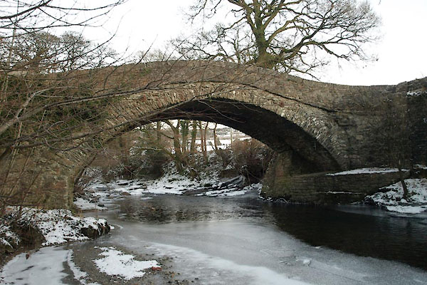 BTV80.jpg (taken 24.12.2010) 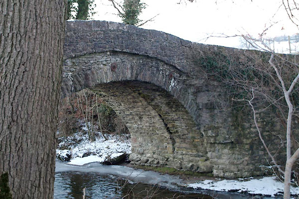 BTV85.jpg (taken 24.12.2010) |
||
|
|
||
| notes:- |
Probably in place before 1534. In the 17th century it was probably a packhorse bridge,
5 feet 4 inches wide, There are records of repairs in 1708, 1727, 1748, 1756, 1785,
and 1827. In 1738 a waller, Joseph Sisson, was fined 6d for throwing part of the bridge
into the river; job creation perhaps. Somewhen before the mid 19th century it had
been widened. The latest repairs to the parapet, 2015, have used the wrong sort of
limestone, which is careless. |
|
|
|
||
 Lakes Guides menu.