 Old Cumbria Gazetteer
 |
 |
|
| Langdale Fell, Orton S | ||
| Langdale Fell | ||
| civil parish:- | Orton S (formerly Westmorland) | |
| county:- | Cumbria | |
| locality type:- | hill | |
| locality type:- | fell | |
| coordinates:- | NY663003 (etc) | |
| 1Km square:- | NY6600 | |
| 10Km square:- | NY60 | |
|
|
||
| evidence:- | old map:- Jefferys 1770 (Wmd) placename:- Langdale Fells |
|
| source data:- | Map, 4 sheets, The County of Westmoreland, scale 1 inch to 1
mile, surveyed 1768, and engraved and published by Thomas
Jefferys, London, 1770.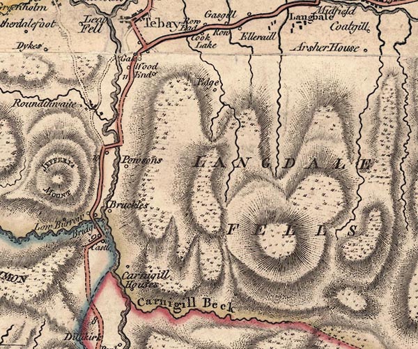 J5NY60SW.jpg 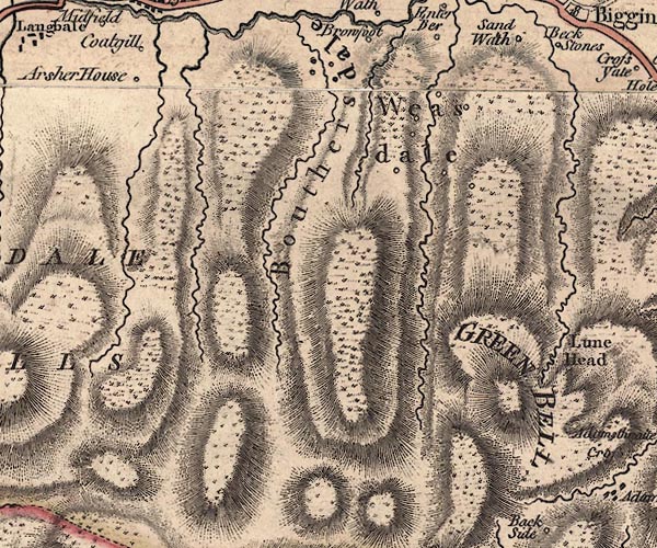 J5NY60SE.jpg "LANGDALE FELLS" hill hachuring; hill or mountain item:- National Library of Scotland : EME.s.47 Images © National Library of Scotland |
|
|
|
||
| evidence:- | old map:- Cary 1789 (edn 1805) placename:- Langdale Fells |
|
| source data:- | Map, uncoloured engraving, Westmoreland, scale about 2.5 miles
to 1 inch, by John Cary, London, 1789; edition 1805.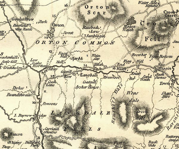 CY24NY60.jpg "LANGDALE FELLS" hill hachuring item:- JandMN : 129 Image © see bottom of page |
|
|
|
||
| evidence:- | old map:- Cooper 1808 placename:- Langdale Fells |
|
| source data:- | Map, hand coloured engraving, Westmoreland ie Westmorland, scale
about 9 miles to 1 inch, by H Cooper, 1808, published by R
Phillips, Bridge Street, Blackfriars, London, 1808. click to enlarge click to enlargeCOP4.jpg "Langdale Fells" hill hachuring; mountain or hill item:- Dove Cottage : 2007.38.53 Image © see bottom of page |
|
|
|
||
 Lakes Guides menu.