 Old Cumbria Gazetteer
 |
 |
|
| Ladyside Pike, Lorton | ||
| Ladyside Pike | ||
| civil parish:- | Lorton (formerly Cumberland) | |
| civil parish:- | Buttermere (formerly Cumberland) | |
| county:- | Cumbria | |
| locality type:- | hill | |
| coordinates:- | NY18452276 | |
| 1Km square:- | NY1822 | |
| 10Km square:- | NY12 | |
| altitude:- | 2306 feet | |
| altitude:- | 703m | |
|
|
||
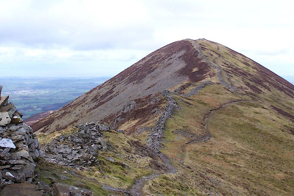 BWD15.jpg (taken 19.3.2012) 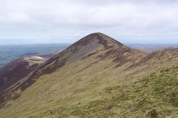 BWD16.jpg (taken 19.3.2012) |
||
|
|
||
| evidence:- | old map:- OS County Series (Cmd 63 7) placename:- Ladyside Pike |
|
| source data:- | Maps, County Series maps of Great Britain, scales 6 and 25
inches to 1 mile, published by the Ordnance Survey, Southampton,
Hampshire, from about 1863 to 1948. |
|
|
|
||
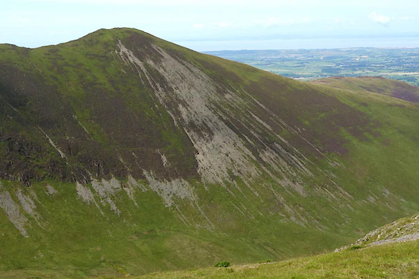 CDR97.jpg Beyond Hobcarton Crag. (taken 17.8.2015) 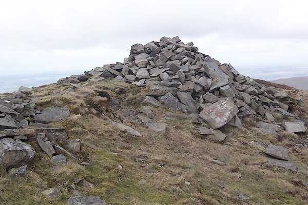 BWD17.jpg Higher cairn. (taken 19.3.2012) 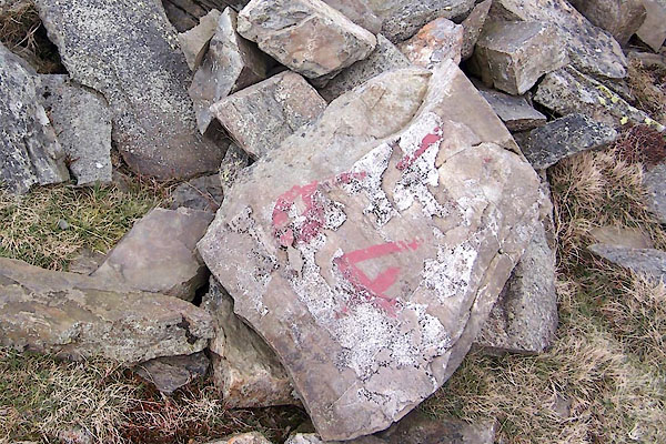 BWD18.jpg Numbered rock at higher cairn. (taken 19.3.2012) 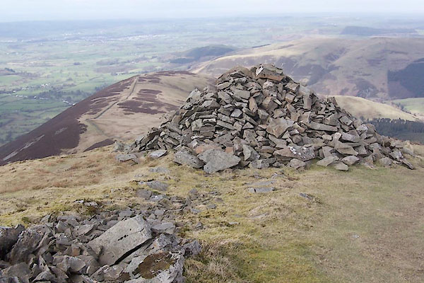 BWD19.jpg Lower cairn, (taken 19.3.2012) 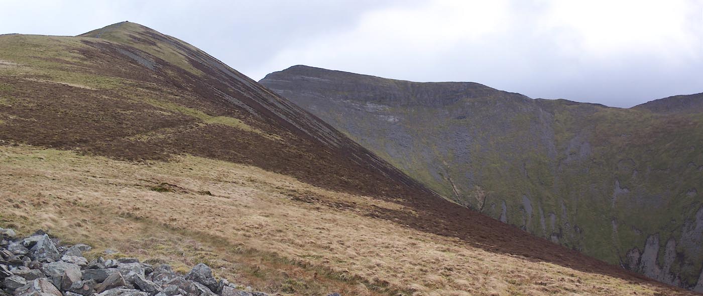 Click to enlarge BWD14.jpg (taken 19.3.2012) 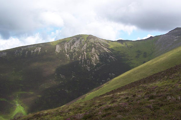 BXC51.jpg (taken 8.8.2012) |
||
|
|
||
 Lakes Guides menu.