 Old Cumbria Gazetteer
 |
 |
|
| Knowehill, Holme East Waver | ||
| Knowehill | ||
| civil parish:- | Holme East Waver (formerly Cumberland) | |
| county:- | Cumbria | |
| locality type:- | buildings | |
| coordinates:- | NY18535161 | |
| 1Km square:- | NY1851 | |
| 10Km square:- | NY15 | |
|
|
||
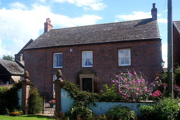 CFG69.jpg (taken 29.7.2016) 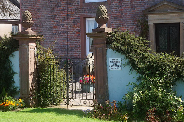 CFG70.jpg Gate piers. (taken 29.7.2016) |
||
|
|
||
| evidence:- | old map:- OS County Series (Cmd 21 15) placename:- Knowhill |
|
| source data:- | Maps, County Series maps of Great Britain, scales 6 and 25
inches to 1 mile, published by the Ordnance Survey, Southampton,
Hampshire, from about 1863 to 1948. |
|
|
|
||
| evidence:- | old map:- Donald 1774 (Cmd) placename:- Know Hill |
|
| source data:- | Map, hand coloured engraving, 3x2 sheets, The County of Cumberland, scale about 1
inch to 1 mile, by Thomas Donald, engraved and published by Joseph Hodskinson, 29
Arundel Street, Strand, London, 1774. D4NY15SE.jpg "Know Hill" block or blocks, labelled in lowercase; a hamlet or just a house item:- Carlisle Library : Map 2 Image © Carlisle Library |
|
|
|
||
| evidence:- | old map:- Ford 1839 map placename:- Knowhill |
|
| source data:- | Map, uncoloured engraving, Map of the Lake District of
Cumberland, Westmoreland and Lancashire, scale about 3.5 miles
to 1 inch, published by Charles Thurnam, Carlisle, and by R
Groombridge, 5 Paternoster Row, London, 3rd edn 1843. FD02NY15.jpg "Knowhill" item:- JandMN : 100.1 Image © see bottom of page |
|
|
|
||
| evidence:- | database:- Listed Buildings 2010 placename:- Knowehill |
|
| source data:- | courtesy of English Heritage "KNOWEHILL / / / HOLME EAST WAVER / ALLERDALE / CUMBRIA / II / 71976 / NY1858451602" |
|
|
|
||
| evidence:- | database:- Listed Buildings 2010 |
|
| source data:- | courtesy of English Heritage "GARDEN WALL IN FRONT OF KNOWEHILL / / / HOLME EAST WAVER / ALLERDALE / CUMBRIA / II / 71977 / NY1854551632" |
|
|
|
||
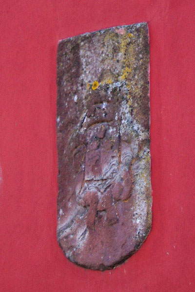 CFG71.jpg Coat of arms. (taken 29.7.2016) |
||
|
|
||
 Lakes Guides menu.