 Old Cumbria Gazetteer
 |
 |
|
| Knowe Crags, Threlkeld | ||
| Knowe Crags | ||
| site name:- | Saddleback | |
| civil parish:- | Threlkeld (formerly Cumberland) | |
| county:- | Cumbria | |
| locality type:- | rocks | |
| coordinates:- | NY31192695 (etc) | |
| 1Km square:- | NY3126 | |
| 10Km square:- | NY32 | |
|
|
||
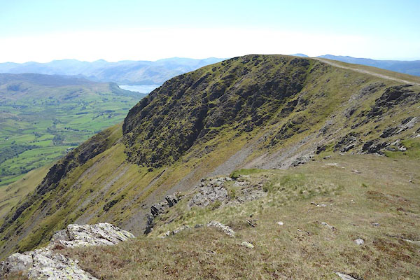 CDI85.jpg (taken 11.6.2015) |
||
|
|
||
| evidence:- | old map:- OS County Series (Cmd 56 12) placename:- Knowe Crags |
|
| source data:- | Maps, County Series maps of Great Britain, scales 6 and 25
inches to 1 mile, published by the Ordnance Survey, Southampton,
Hampshire, from about 1863 to 1948. OS County Series (Cmd 56 16) |
|
|
|
||
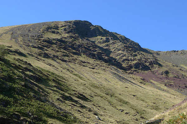 CBO22.jpg (taken 26.8.2014) |
||
|
|
||
 Lakes Guides menu.