 Old Cumbria Gazetteer
 |
 |
|
| Knock Fell, Long Marton | ||
| Knock Fell | ||
| civil parish:- | Long Marton (formerly Westmorland) | |
| county:- | Cumbria | |
| locality type:- | hill | |
| locality type:- | fell | |
| coordinates:- | NY72493092 (etc) | |
| 1Km square:- | NY7230 | |
| 10Km square:- | NY73 | |
|
|
||
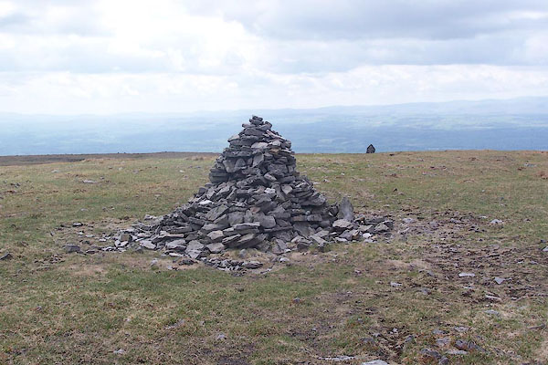 BSX15.jpg Summit cairn. (taken 2.6.2010) 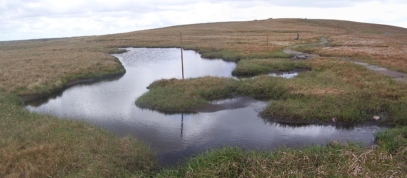 Click to enlarge BSX16.jpg Bog on the top. (taken 2.6.2010) |
||
|
|
||
| evidence:- | old map:- OS County Series (Wmd 5 8) placename:- Knock Fell |
|
| source data:- | Maps, County Series maps of Great Britain, scales 6 and 25
inches to 1 mile, published by the Ordnance Survey, Southampton,
Hampshire, from about 1863 to 1948. OS County Series (Wmd 6 5) |
|
|
|
||
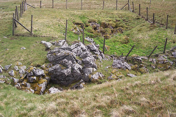 BSX17.jpg Shakeholes. (taken 2.6.2010) |
||
|
|
||
 Lakes Guides menu.