 Old Cumbria Gazetteer
 |
 |
|
| Kitchenhill, Penrith | ||
| Kitchenhill | ||
| Kitchen Hill | ||
| locality:- | Kitchen Hill | |
| civil parish:- | Penrith (formerly Cumberland) | |
| county:- | Cumbria | |
| locality type:- | buildings | |
| locality type:- | locality | |
| coordinates:- | NY49633404 | |
| 1Km square:- | NY4934 | |
| 10Km square:- | NY43 | |
|
|
||
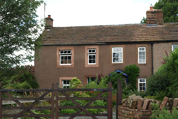 BYX63.jpg (taken 2.8.2013) |
||
|
|
||
| evidence:- | old map:- OS County Series (Cmd 49 11) placename:- Kitchenhill |
|
| source data:- | Maps, County Series maps of Great Britain, scales 6 and 25
inches to 1 mile, published by the Ordnance Survey, Southampton,
Hampshire, from about 1863 to 1948. |
|
|
|
||
| evidence:- | database:- Listed Buildings 2010 item:- date stone (1714) |
|
| source data:- | courtesy of English Heritage "/ 40238 / KITCHENHILL / PENRITH / EDEN / CUMBRIA / II / 72889 / NY4963134046" |
|
|
|
||
 Lakes Guides menu.