 |
 |
|
|
|
|
Kirksanton |
| civil parish:- |
Millom Without (formerly Cumberland) |
| county:- |
Cumbria |
| locality type:- |
locality |
| locality type:- |
buildings |
| coordinates:- |
SD14018079 (etc) |
| 1Km square:- |
SD1480 |
| 10Km square:- |
SD18 |
|
|
| evidence:- |
old map:- OS County Series (Cmd 88 13)
placename:- Kirksanton
|
| source data:- |
Maps, County Series maps of Great Britain, scales 6 and 25
inches to 1 mile, published by the Ordnance Survey, Southampton,
Hampshire, from about 1863 to 1948.
|
|
|
| evidence:- |
old map:- Donald 1774 (Cmd)
placename:- Kirksanck Town
|
| source data:- |
Map, hand coloured engraving, 3x2 sheets, The County of Cumberland, scale about 1
inch to 1 mile, by Thomas Donald, engraved and published by Joseph Hodskinson, 29
Arundel Street, Strand, London, 1774.
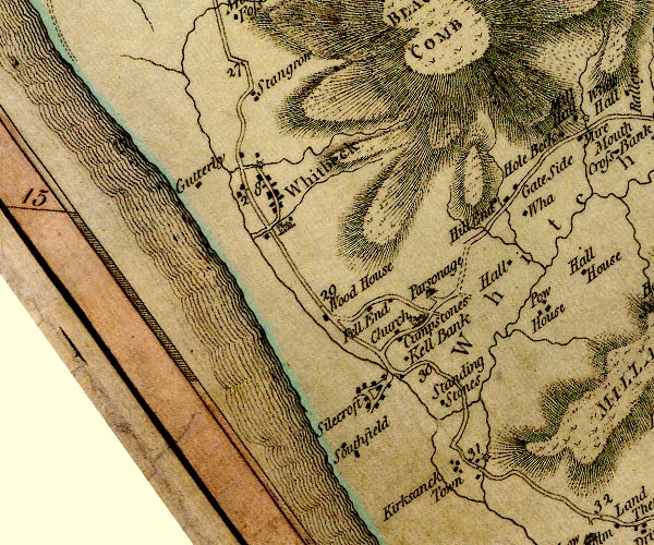
D4SD18SW.jpg
"Kirksanck Town"
block or blocks, labelled in lowercase; a hamlet or just a house
item:- Carlisle Library : Map 2
Image © Carlisle Library |
|
|
| places:- |
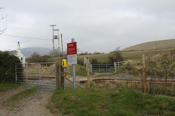 |
SD14108082 accommodation crossing, Kirksanton (Millom Without) |
|
|
 |
SD14438076 Bankfield (Millom Without) |
|
|
|
SD1380 Beckstones Brewery (Millom Without) |
|
|
|
SD140807 Christ Church (Whicham) gone |
|
|
|
SD1480 Kirksanton Church (Millom Without) |
|
|
|
SD14548085 Giant's Chair (Millom Without) |
|
|
 |
SD13618110 Giants Grave (Millom Without) |
|
|
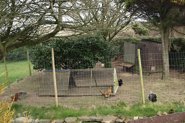 |
SD14108078 hen house, Kirksanton (Millom Without) |
|
|
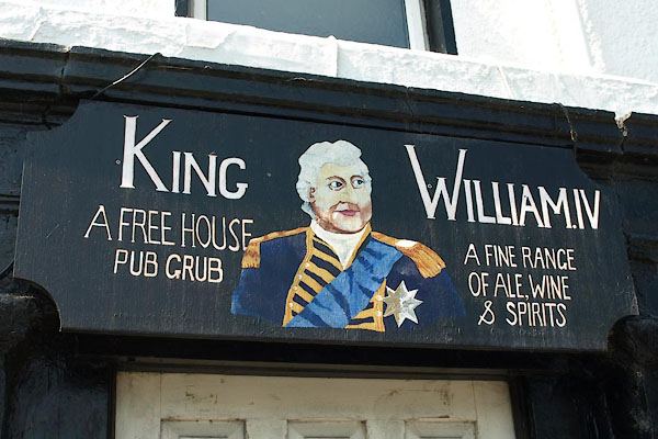 |
SD13968079 King William IV (Millom Without) |
|
|
|
SD14098077 Kirksanton Bridge (Millom Without) |
|
|
 |
SD14248069 Kirksanton Crossing (Millom Without) |
|
|
|
SD1380 Kirksanton Pool (Millom Without) |
|
|
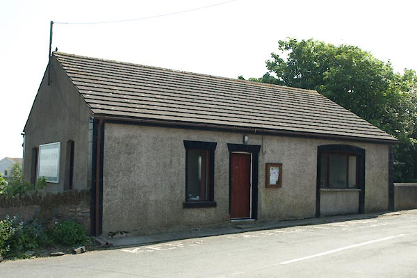 |
SD13978076 Kirksanton Village Hall (Millom Without) |
|
|
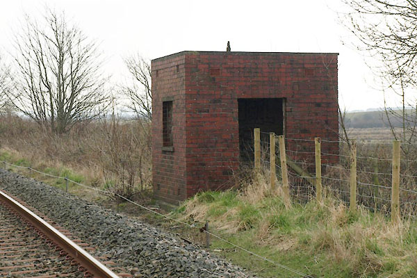 |
SD14128079 lineside hut, Kirksanton (Millom Without) |
|
|
|
SD14048082 mill, Kirksanton (Millom Without) |
|
|
|
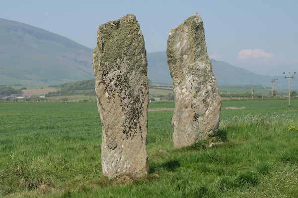
SD13508099 Standing Stones (Millom Without) |
|
