 Old Cumbria Gazetteer
 |
 |
|
| Kirkby Lonsdale Station, Lancashire | ||
| Kirkby Lonsdale Station | ||
| site name:- | Low Gill and Ingleton branch railway | |
| county:- | Lancashire | |
| locality type:- | railway station | |
| coordinates:- | SD62967743 | |
| 1Km square:- | SD6277 | |
| 10Km square:- | SD67 | |
| SummaryText:- | Opened with the railway 1861; closed 1954. | |
| SummaryText:- | Now a private house, The Station House. | |
|
|
||
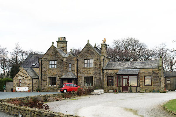 BPW77.jpg (taken 2.1.2009) 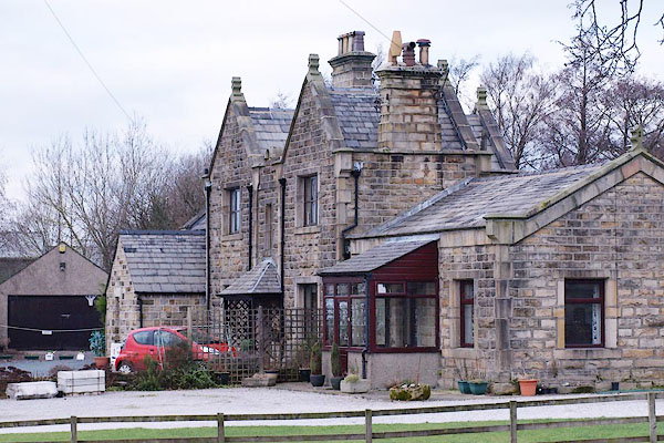 BPW78.jpg (taken 2.1.2009) |
||
|
|
||
| evidence:- | old map:- OS County Series (Lan 20 1) placename:- Kirkby Lonsdale Station item:- railway signal; weighing machine |
|
| source data:- | Maps, County Series maps of Great Britain, scales 6 and 25
inches to 1 mile, published by the Ordnance Survey, Southampton,
Hampshire, from about 1863 to 1948.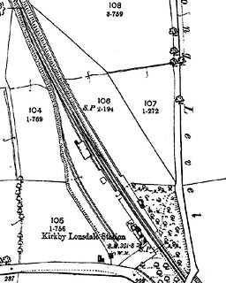 click to enlarge click to enlargeCSRY0206.jpg "Kirkby Lonsdale Station / S.P. / W.M." |
|
|
|
||
| evidence:- | probably old map:- Postlethwaite 1877 (3rd edn 1913) |
|
| source data:- | Map, uncoloured engraving, Map of the Lake District Mining Field, Westmorland, Cumberland,
Lancashire, scale about 5 miles to 1 inch, by John Postlethwaite, published by W H
Moss and Sons, 13 Lowther Street, Whitehaven, Cumberland, 1877 edn 1913.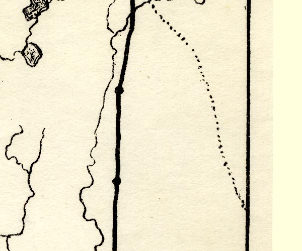 PST2SD68.jpg station on railway item:- JandMN : 162.2 Image © see bottom of page |
|
|
|
||
 Lakes Guides menu.