 Old Cumbria Gazetteer
 |
 |
|
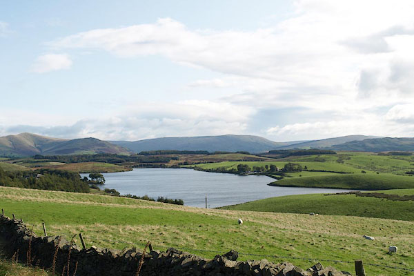
| Killington Reservoir, Killington | ||
| Killington Reservoir | ||
| site name:- | Bela, River | |
| civil parish:- | Killington (formerly Westmorland) | |
| county:- | Cumbria | |
| locality type:- | reservoir | |
| locality type:- | tarn | |
| coordinates:- | SD59169110 (etc) | |
| 1Km square:- | SD5991 | |
| 10Km square:- | SD59 | |
|
|
||
 BPR78.jpg (taken 3.10.2008) 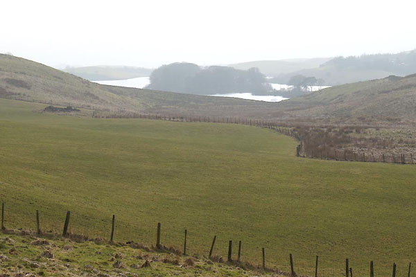 CCQ22.jpg (taken 13.3.2015) |
||
|
|
||
| evidence:- | old map:- OS County Series (Wmd 39 11) |
|
| source data:- | Maps, County Series maps of Great Britain, scales 6 and 25
inches to 1 mile, published by the Ordnance Survey, Southampton,
Hampshire, from about 1863 to 1948. "Rservoir (For supplying the Lancaster and Kendal Canal)" |
|
|
|
||
| place:- | Lancaster Canal | |
| Made to supply water to the Lancaster Canal, dam on the River Bela. |
||
|
|
||
 Lakes Guides menu.