 Old Cumbria Gazetteer
 |
 |
|
| Iredale Place, Loweswater | ||
| Iredale Place | ||
| civil parish:- | Loweswater (formerly Cumberland) | |
| county:- | Cumbria | |
| locality type:- | buildings | |
| coordinates:- | NY11072265 (?) | |
| 1Km square:- | NY1122 | |
| 10Km square:- | NY12 | |
|
|
||
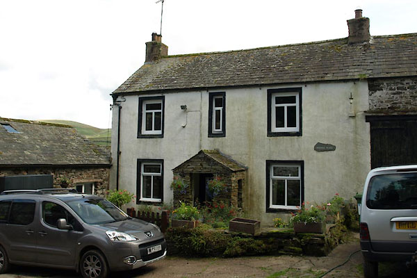 BVF34.jpg (taken 17.8.2011) |
||
|
|
||
| evidence:- | old map:- OS County Series (Cmd 62 8) placename:- Ardale Place |
|
| source data:- | Maps, County Series maps of Great Britain, scales 6 and 25
inches to 1 mile, published by the Ordnance Survey, Southampton,
Hampshire, from about 1863 to 1948. |
|
|
|
||
| evidence:- | possibly old map:- Crosthwaite 1783-94 (But/Cru/Low) placename:- Places |
|
| source data:- | Map, uncoloured engraving, An Accurate Map of Buttermere,
Crummock and Loweswater Lakes, scale about 3 inches to 1 mile,
by Peter Crosthwaite, Keswick, Cumberland, 1794, version
published 1800.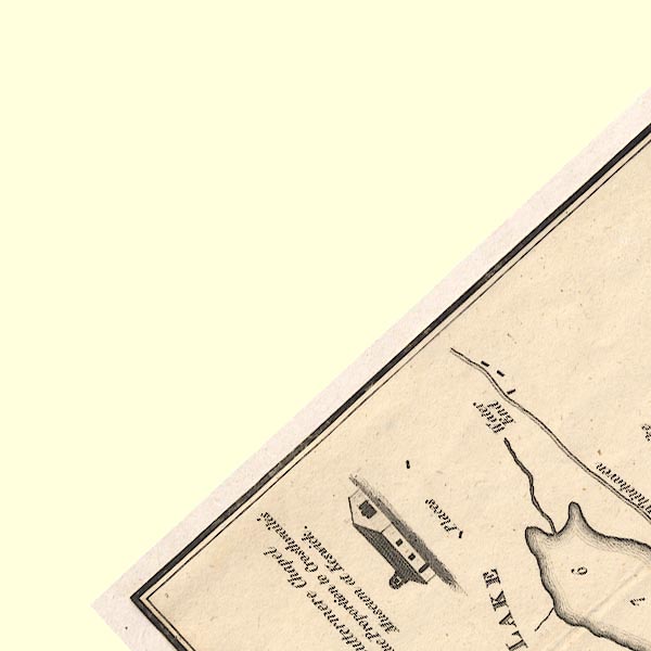 CT8NY12B.jpg "Places" item:- Armitt Library : 1959.191.2 Image © see bottom of page |
|
|
|
||
 Lakes Guides menu.