 Old Cumbria Gazetteer
 |
 |
|
| Inglewood House, Hesket | ||
| Inglewood House | ||
| Inglewood House Farm | ||
| locality:- | Inglewood | |
| civil parish:- | Hesket (formerly Cumberland) | |
| county:- | Cumbria | |
| locality type:- | buildings | |
| coordinates:- | NY47634293 | |
| 1Km square:- | NY4742 | |
| 10Km square:- | NY44 | |
| SummaryText:- | ?are house and farm one? | |
|
|
||
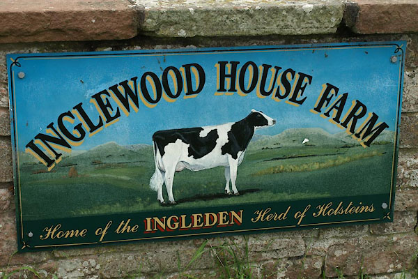 BWS17.jpg Farm sign. (taken 8.6.2012) |
||
|
|
||
| evidence:- | old map:- OS County Series (Cmd 39 3) placename:- Inglewood House |
|
| source data:- | Maps, County Series maps of Great Britain, scales 6 and 25
inches to 1 mile, published by the Ordnance Survey, Southampton,
Hampshire, from about 1863 to 1948. |
|
|
|
||
| evidence:- | database:- Listed Buildings 2010 placename:- Inglewood House item:- date stone (1700) |
|
| source data:- | courtesy of English Heritage "INGLEWOOD HOUSE / / / HESKET / EDEN / CUMBRIA / II / 73892 / NY4765042908" |
|
|
|
||
 Lakes Guides menu.