 |
 |
   |
|
|
|
Humphrey Head |
| civil parish:- |
Lower Allithwaite (formerly Lancashire) |
| county:- |
Cumbria |
| locality type:- |
hill |
| coordinates:- |
SD39117425 (etc) |
| 1Km square:- |
SD3973 |
| 10Km square:- |
SD37 |
|
|
|
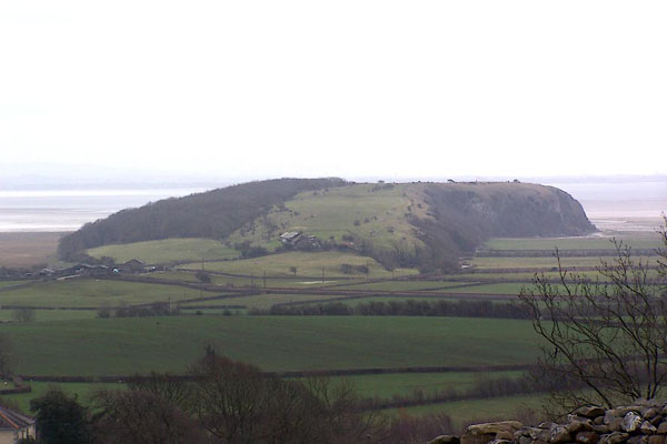
BLU14.jpg (taken 7.4.2006)
|
|
|
| evidence:- |
old map:- OS County Series (Lan 17 15)
placename:- Humphrey Head
|
| source data:- |
Maps, County Series maps of Great Britain, scales 6 and 25
inches to 1 mile, published by the Ordnance Survey, Southampton,
Hampshire, from about 1863 to 1948.
|
|
|
| evidence:- |
old map:- Otley 1818
placename:- Humphrey Head
|
| source data:- |
Map, uncoloured engraving, The District of the Lakes,
Cumberland, Westmorland, and Lancashire, scale about 4 miles to
1 inch, by Jonathan Otley, 1818, engraved by J and G Menzies,
Edinburgh, Scotland, published by Jonathan Otley, Keswick,
Cumberland, et al, 1833.
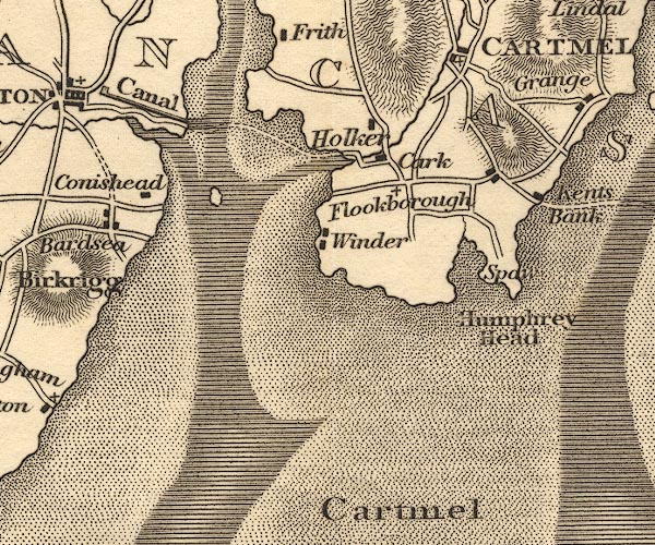
OT02SD37.jpg
item:- JandMN : 48.1
Image © see bottom of page
|
|
|
| evidence:- |
old photograph:- Bell 1880s-1940s
|
| source data:- |
Photograph, b/w, Humphrey Head, Lower Allithwaite, Lancashire, by Herbert Bell, Ambleside,
Westmorland, 1890s?
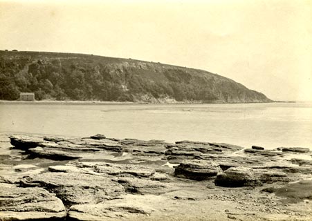 click to enlarge click to enlarge
HB0362.jpg
item:- Armitt Library : ALPS741
Image © see bottom of page
|
|
|
| evidence:- |
old photograph:- Bell 1880s-1940s
|
| source data:- |
Photograph, b/w, Humphrey Head, Lower Allithwaite, Lancashire, by Herbert Bell, Ambleside,
Westmorland, 1890s?
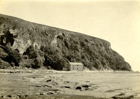 click to enlarge click to enlarge
HB0363.jpg
item:- Armitt Library : ALPS742
Image © see bottom of page
|
|
|
|
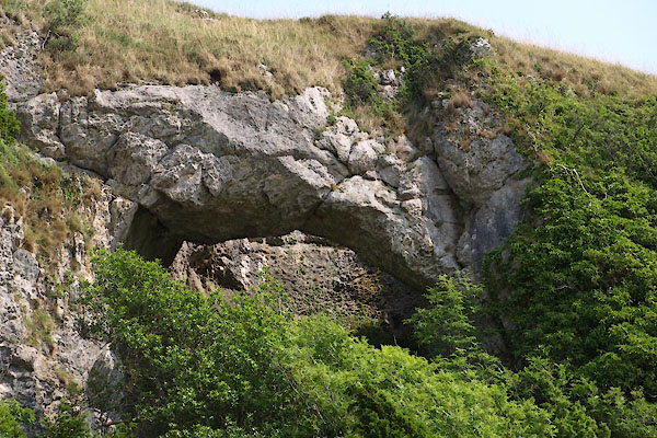
BYS53.jpg Natural arch,
(taken 7.4.2006)
|
|
|
|
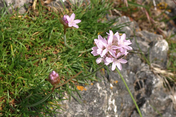
BYS49.jpg Thrift, Armeria maritima.
(taken 5.7.2013)
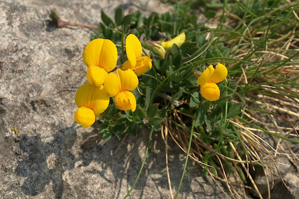
BYS50.jpg
(taken 5.7.2013)
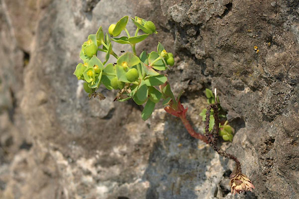
BYS51.jpg Spurge, Euphorbia sp.
(taken 5.7.2013)
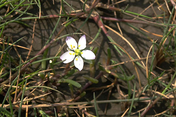
BYS52.jpg
(taken 5.7.2013)
|
|
|
story:-
|
This is one of several [many] places where the last wolf was killed in England. This
one was killed by Sir John Harrington to prove his love for his lady, according to
Stockdale's Annals of Cartmel.
|
|
|


 click to enlarge
 click to enlarge


 Lakes Guides menu.