 |
 |
|
|
|
|
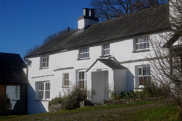
Hubbersty Head |
| civil parish:- |
Crosthwaite and Lyth (formerly Westmorland) |
| county:- |
Cumbria |
| locality type:- |
locality |
| locality type:- |
buildings |
| coordinates:- |
SD42729164 (etc) |
| 1Km square:- |
SD4291 |
| 10Km square:- |
SD49 |
|
|
| evidence:- |
old map:- OS County Series (Wmd 37 8)
placename:- Hubbersty Head
|
| source data:- |
Maps, County Series maps of Great Britain, scales 6 and 25
inches to 1 mile, published by the Ordnance Survey, Southampton,
Hampshire, from about 1863 to 1948.
|
|
|
| evidence:- |
hearth tax returns:- Hearth Tax 1675
placename:- Hubert head
|
| source data:- |
Records, hearth tax survey returns, Westmorland, 1674/75.
"Hubert head"
in "Crosthwaite and Lyth"
|
|
|
| places:- |
 |
SD42689154 High Yews (Crosthwaite and Lyth) |
|
|
 |
SD42849177 Hill Farm (Crosthwaite and Lyth) L |
|
|
 |
SD42889169 Hill Top (Crosthwaite and Lyth) |
|
|
|
SD42569158 Mearson's Farm (Crosthwaite and Lyth) |
|
