 Old Cumbria Gazetteer
 |
 |
|
| Howegill Head, Middleton | ||
| Howegill Head | ||
| site name:- | Howe Gill (3) | |
| locality:- | Middleton Fell | |
| civil parish:- | Middleton (formerly Westmorland) | |
| county:- | Cumbria | |
| locality type:- | hill | |
| coordinates:- | SD64668477 (etc) | |
| 1Km square:- | SD6484 | |
| 10Km square:- | SD68 | |
|
|
||
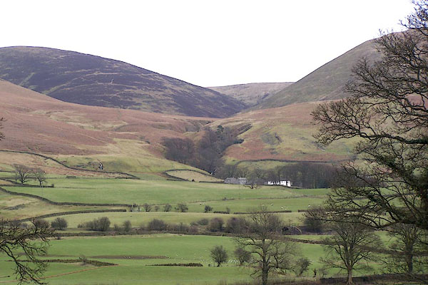 BLT47.jpg Middelton Fell on the left, Howegill Head on the right, Calf in the background. (taken 31.3.2006) |
||
|
|
||
| evidence:- | old map:- OS County Series (Wmd 44 9) placename:- Howegill Head |
|
| source data:- | Maps, County Series maps of Great Britain, scales 6 and 25
inches to 1 mile, published by the Ordnance Survey, Southampton,
Hampshire, from about 1863 to 1948. |
|
|
|
||
 Lakes Guides menu.